
Tracing the routes and roots of our eastern coastline
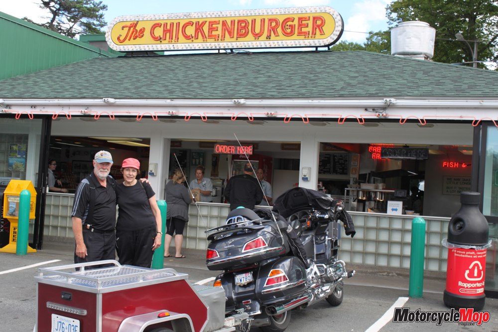
“This place is just like Arnold’s Drive-In from Happy Days,” I say to my wife, Tina, as I wolf down my chicken burger. We’re at The Chickenburger in Bedford, Nova Scotia, and the decor of this sixties-style diner makes you look around to see if Arthur Fonzarelli, aka The Fonz, might be trying to get a free tune from the antique nickelodeon that sits just across from our table. Established in 1940 by Bernice Innes, who became fondly known as the Chickenburger Lady, the eatery has been nicknamed The Chick and is reputed to be the oldest drive-indiner in Canada. Although she passed away in 2011 at age 91, the new owners have retained the magical nostalgia and the renowned chicken burger recipe that made it famous.
Well sated, we head for Halifax and the toll bridge over the historic Bedford Basin. Mistakenly, we end up in the “Exact Change Lane.” With only a $20 bill in hand, our trailer in tow and a line-up of cars behind, I notice a motorcycle-sized space between the end of the barrier arm and freedom. Nimbly, I squirt through with the trailer bounding along behind me, and we are on our way. My apologies to the City of Halifax, but as they say, necessity is the mother of invention. We check in at our hotel, and with the sun setting, we take a stroll along the waterfront, stop to enjoy some Maritime fish and chips at Salty’s, then settle in for a good night’s rest at the end of a perfect day.
Make Amends

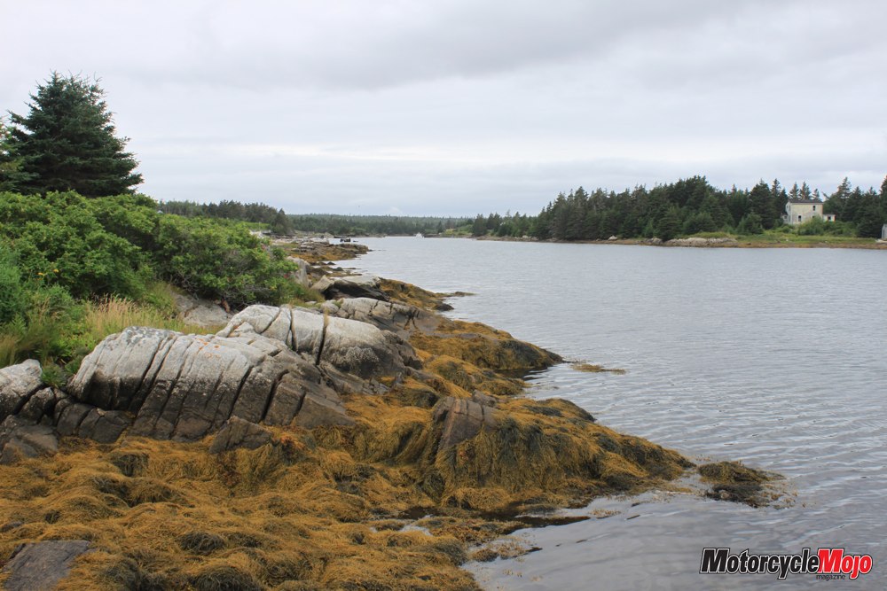
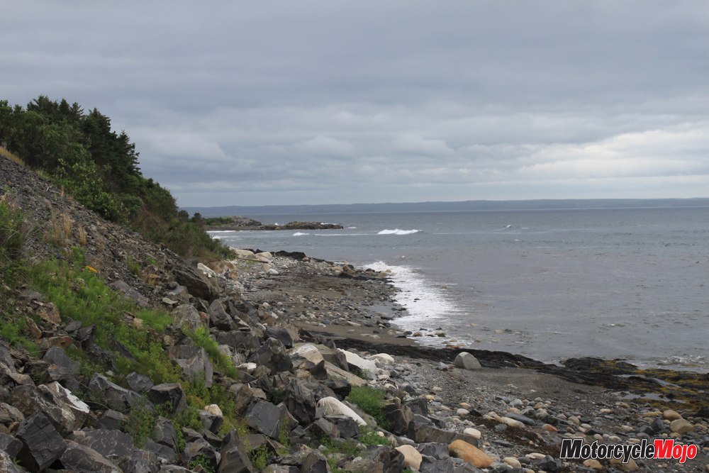
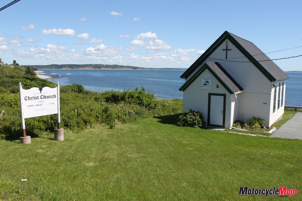
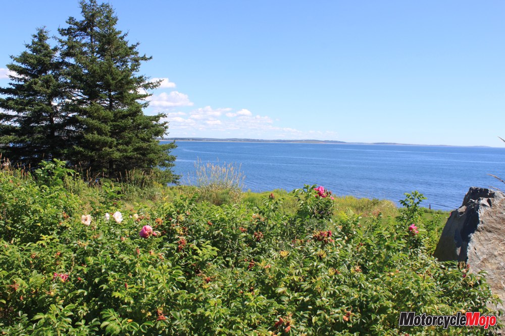
Moving on, we navigate the frost heaves of Cow Bay Road following the North Atlantic shoreline. Below the cliffs are rocky beaches and frothy white, churning surf that keep us craning for a better look. We stop at a small white church beside a pretty little cottage, perched high above the sea. The sweet smell of the wild rose hedgerow invigorates my senses as the cottage owner approaches and asks if he can help us. This is a Maritime friendliness that continues throughout our entire tour of Nova Scotia’s Eastern Shore.
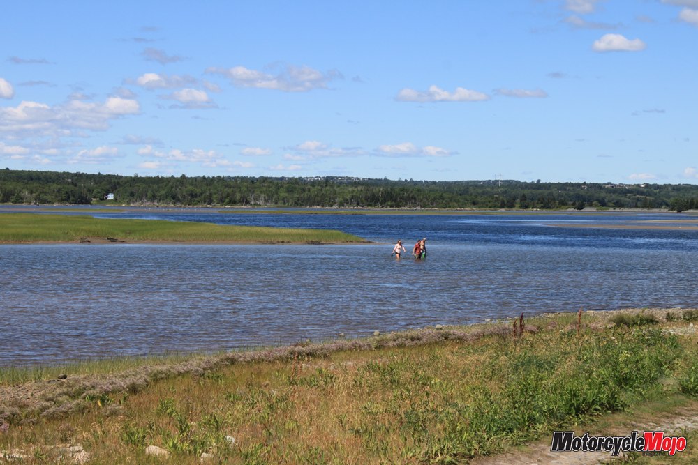
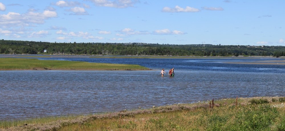
Cow Bay Road ends and we spot some people wading along a sandbar, dragging bags behind them. I shout, “What are you doing?” They call back to me, “Wur diggin’ fer clams.” Low tide provides the opportunity to wade knee deep into the briny water and bring a tasty lunch home for the family. After some balancing theatrics trying to turn the bike and trailer around on the gravel and rocks, we head up Bisset Road to Cole Harbour, the boyhood home of Sidney (Sid the Kid) Crosby.
Hang Ten

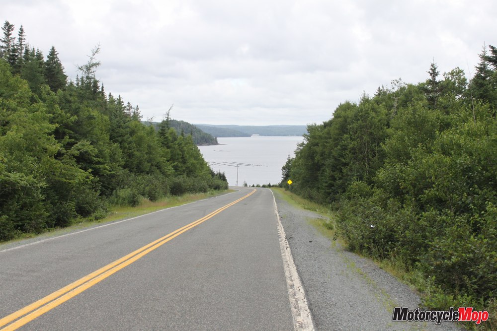
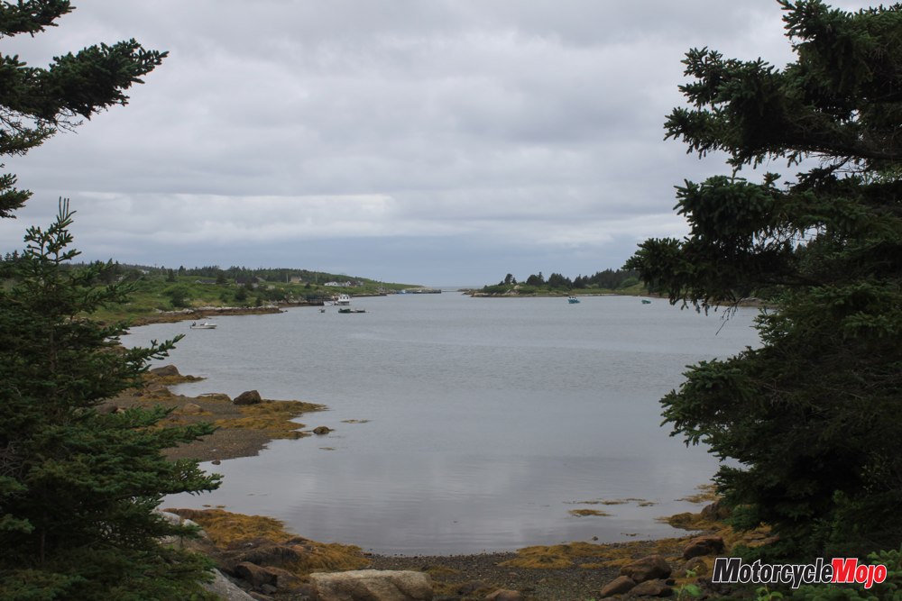
The beach fades behind as the ever-changing shoreline rises into high ochre cliffs. Marine Drive is dotted with tiny villages, many established more than 300 years ago. Hamlets are named after old country villages, family surnames or native Mi’kmaq names; their signs make for interesting reading along the way.
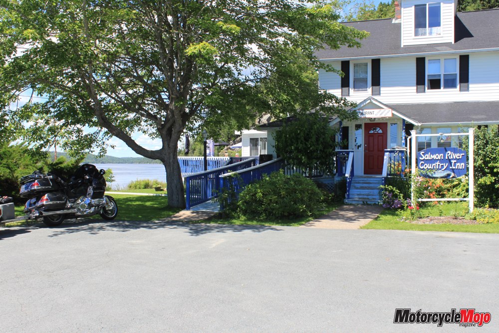
Hugging the seashore, the source of life for these people, we take our time cruising slowly along this rugged Maritime coast. Just past Head of Chezzetcook, we cross over the Salmon River where its fresh water joins the Atlantic. At Musquodoboit Harbour, a spreading maple tree at the Salmon River Country Inn provides shade for the bike, and we settle in on the patio for a delicious lunch. This lovely Victorian-style inn, owned by a German couple, offers traditional German fare and local cuisine. The unmatched seaside view creates a perfect backdrop while we watch people fishing for mackerel from the bridge.
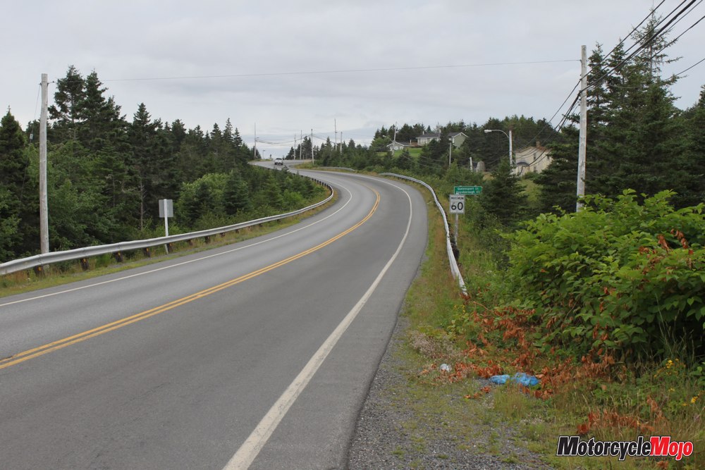
Zigzagging

As we leave, I notice the fuel gauge is near empty. This could be disastrous! Back on Marine Drive, I scan the horizon for a gas station, but none appears. The needle is now on the red, with no gas stations in sight. A stress-filled 45 km later, and with white showing between the needle and the red, we finally coast into an Irving station in Sheet Harbour, breathing a collective sigh of relief.
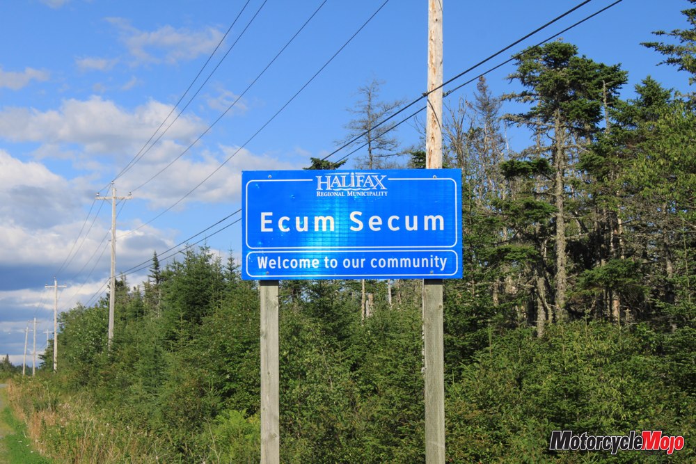
Town after tiny town sweeps by with fishermen’s homes clinging to the rugged shoreline. These homes face away from the sea, while tourist homes face the sea – an interesting phenomenon that makes perfect sense. Passing through Moser River, we arrive at Ecum Secum, which means “a red house” in the native Mi’kmaq language. At Marie Joseph, Marine Drive sweeps inland, taking us across another peninsula, and we arrive at Liscombe Lodge.
A Fine Finish
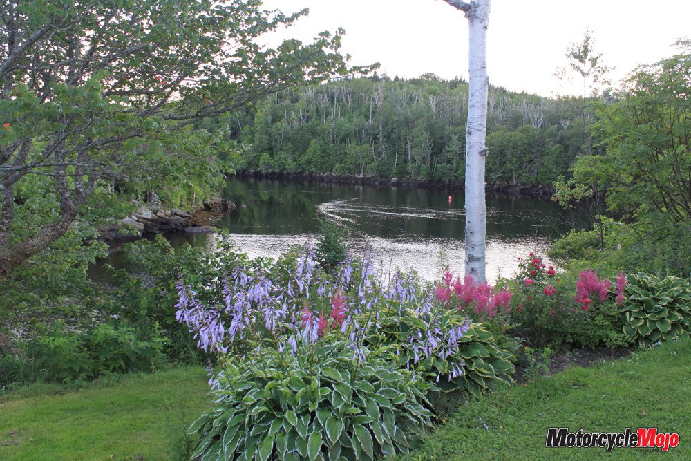
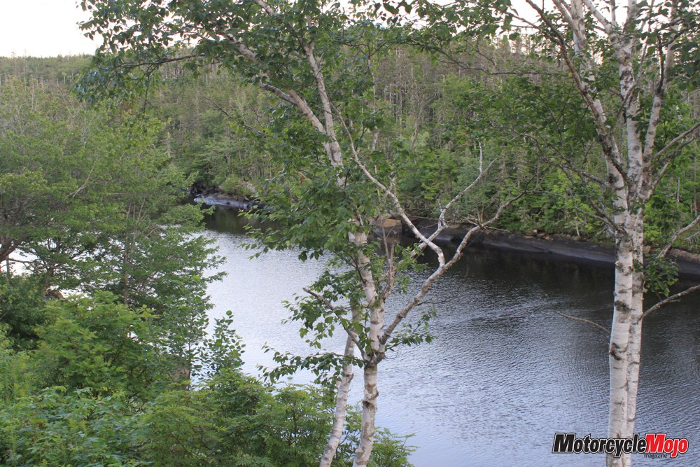
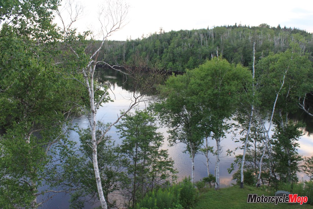
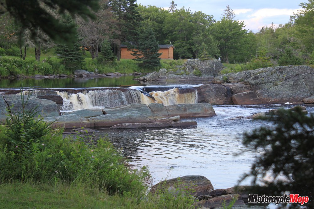
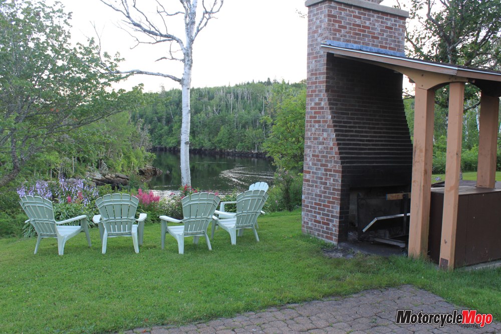
Nestled in the birch trees above the Liscomb River, our room at the lodge overlooks one of Nova Scotia’s best salmon-fishing rivers. Dinner is local planked salmon prepared the Mi’kmaq way against an open fire; there cannot be a more pleasant way to end a great ride packed full of incredible scenery, except for the complete silence that finishes the evening high above the river with our balcony door open.
The following morning, the skies are dark and rain threatens as we turn right onto Marine Drive again and catch one last glance of the falls on the Liscomb River. The deep blue of the Atlantic greets us as we cruise by Spanish Ship Bay, and then head inland passing through Goldenville and Sherbrook. Just before Stillwater, Marine Drive turns right onto Route 211, and we wind through a valley past Sixth Lake, Fifth Lake, Fourth Lake and so on. A doe and her two fawns disconcertedly walk along the roadway in front of us for about 100 metres before trotting into the forest.
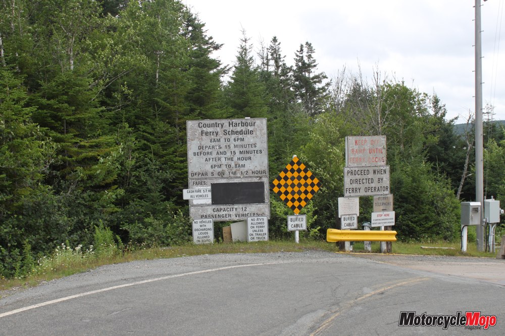
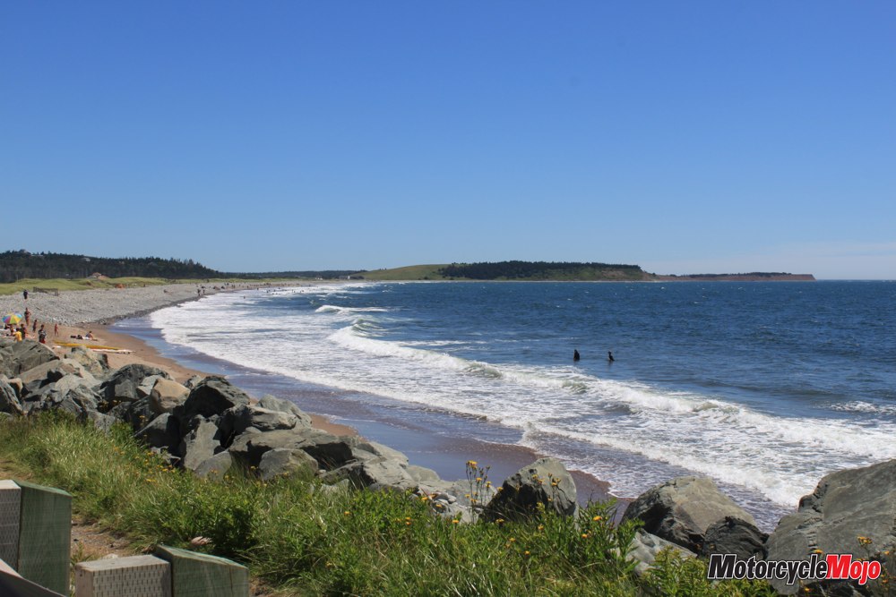
We take a quick break at the Port Bickerton beach and watch some kids brave the cold ocean waters before heading to the Country Harbour cable ferry. We just missed the ferry, as it’s about 300 metres offshore, but it stops, reverses and comes back to pick us up. “Now that is truly amazing,” I say to Tina.
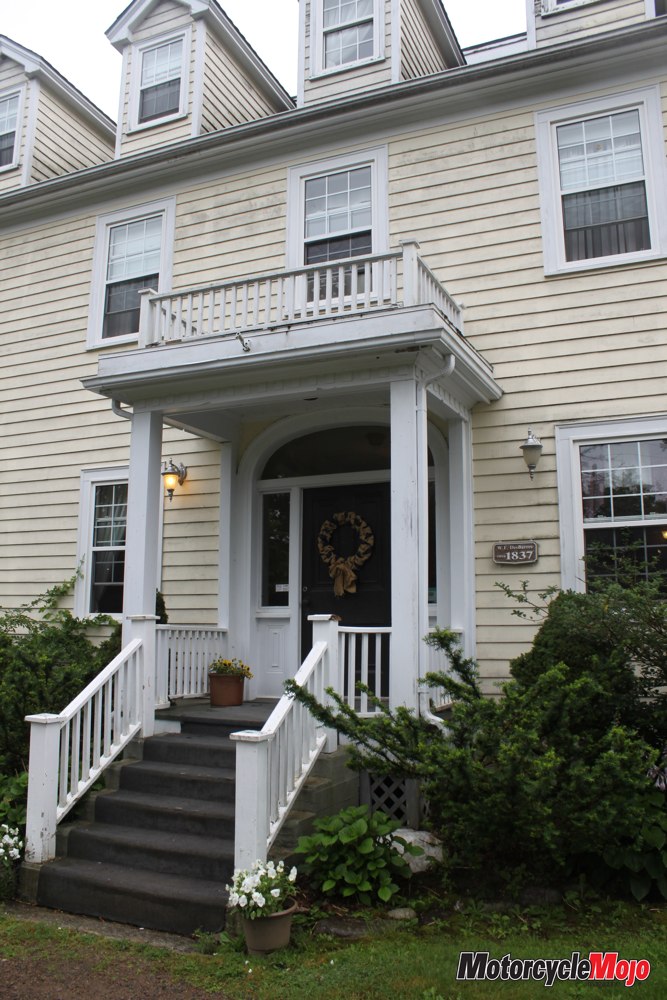
Our ferry experience completed, we turn onto Hwy 316 and ride through Isaac’s Harbour, a town established in 1760, then on to Drum Head, Coddles Harbour and Tor Bay, where we move inland again. In the higher elevations, millions of dead black spruce stand like ghostly skeletons against the grey sky; victims of the dreaded spruce budworm? We carry on into Larry’s River, an early Acadian village, as the heavy clouds begin to release their burden. Larry’s River Road provides a short cut and gets us quickly to Guysborough and, more importantly, the DesBarres Manor Inn, circa 1837, where a nice dry garage awaits the bike for the night.
Rare Bird
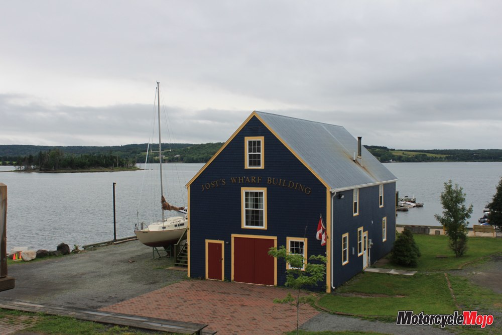
Guysborough overlooks Chedabucto Bay, and at the Rare Bird Pub and Eatery, we meet Mike McLean, the ambassador for Rare Bird (a craft beer) and the Authentic Seacoast Distillery. Its speciality ales – pale ale, maple, stout and spruce – and unique rums – Coffee Maple, Spiced Amber and Fortress – have been well received, and the company is providing much needed employment to the area. As we watch the rain falling gently on Chedabucto Bay, we kill some time and lunch on tasty, fresh fish and chips, a local favourite, before climbing the hill back to the inn. All night it rains, but conveniently the next morning dawns dry. I peep out our bedroom window at the sound of Sunday morning church bells before pulling the bike out of its dry storage. After a nice breakfast at the inn, we take Larry’s River Road back to Larry’s River to continue our ride and follow the coastal route of Marine Drive. Highway 316 ends just south of Half Island Cove, with Marine Drive continuing west on Hwy 16. It’s at this intersection we turn east onto Hwy 16, which is confusingly also called Marine Drive.
Over the hills and through the spruce forests, we enjoy the gentle curves on the recently resurfaced highway to Canso. Canso is land’s end, a postcard-perfect fishing village established in 1604. At the pier, we strike up a conversation with a young lad who is fishing for mackerel. I thought the locals would eat the mackerel, but he tells us it’s actually used to bait lobster traps. The intense, fetid smell of dead fish curdles our senses as we pass by the new Canso Seafood processing plant; to the locals, it’s the smell of money. Timidly, we cross a narrow bridge onto Durells Island and follow a narrow, muddy trail filled with round rocks as we seek a vantage point for a picture. Nobody should take a Gold Wing here, much less with a passenger and towing a trailer. Sometimes my spirit of adventure exceeds common sense, so we head back.
High Above the Surf
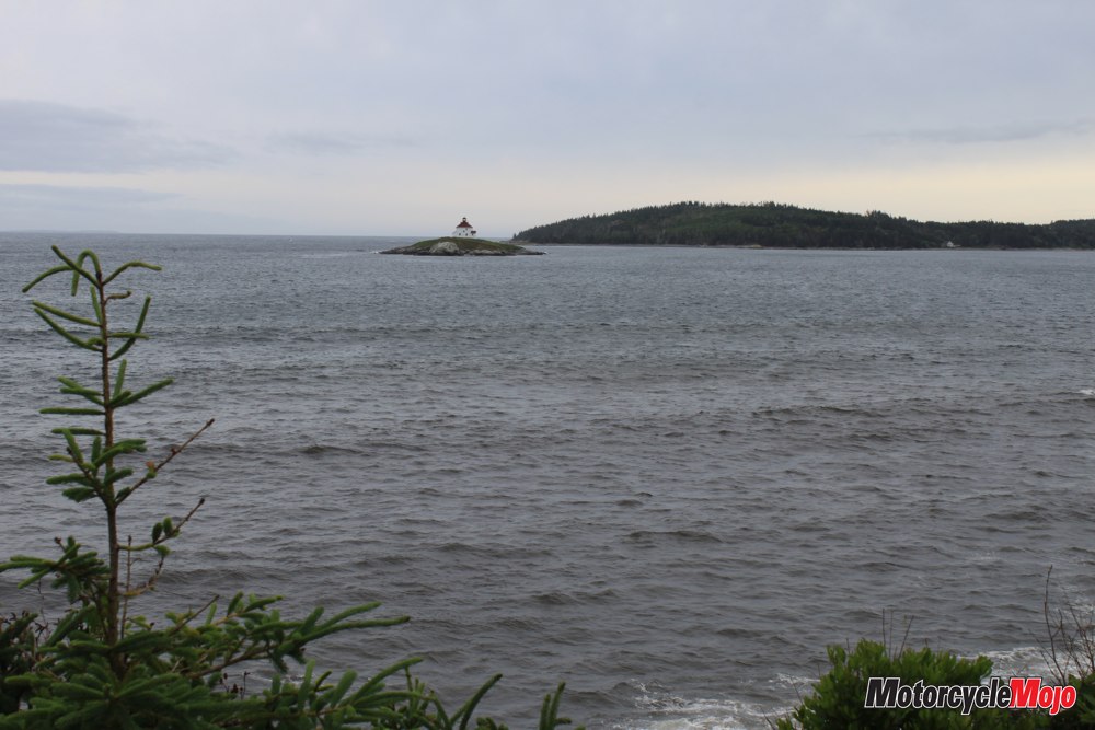
Back through the town, we retrace our route to Half Island Cove where the highway again presses against the rugged Atlantic coast. From Queensport to Boylston, a distance of 32 km, Marine Drive sweeps along the coastline with the pounding surf far below. At Queensport Beach, a rocky stretch of shoreline gives us a spectacular view of the Queensport Lighthouse on tiny Rook Island in Chedabucto Bay. A square residential building, the lighthouse towers 16.5 metres above the water. Rebuilt in 1936, it’s a classic example of the evolution of lighthouses, and it’s still operating today. Rolling through Guysborough, we continue on to Boylston, deciding to forfeit the last remaining coastal loop of Marine Drive, and track inland toward the town of Monastery, where several monks still live in the monastery that dates back to 1825, and which has been operating continuously since then.
We bid our goodbyes to the Eastern Shore as we bank sharply right onto the ramp and the super slab that will take us to North Sydney. Our Roots The Eastern Shore route takes you back to when times were simpler and personal needs were less. Eking out an existence over the centuries, these coastal people have relied on each other, and their hospitality is renowned and was evidenced at every stop along our way. This is where Canadians trace their roots back to. This is where Champlain and Cartier first caught sight of the New World, and New Scotland.