
The riding heats up in the Buckeye State
Light-headed and nauseous, I sank onto the seat in the air-conditioned burger shop and held the ice-cold drink to my temples. I had come to explore the forested hills of southeastern Ohio, but the thick humidity and exceptionally high temperatures had pushed me – I later discovered – into the first stages of heat exhaustion. Responsibly, I was riding “ATGATT” (All the Gear at Tremendous Temperature), but clearly I had some things to learn about travelling during a heat advisory.
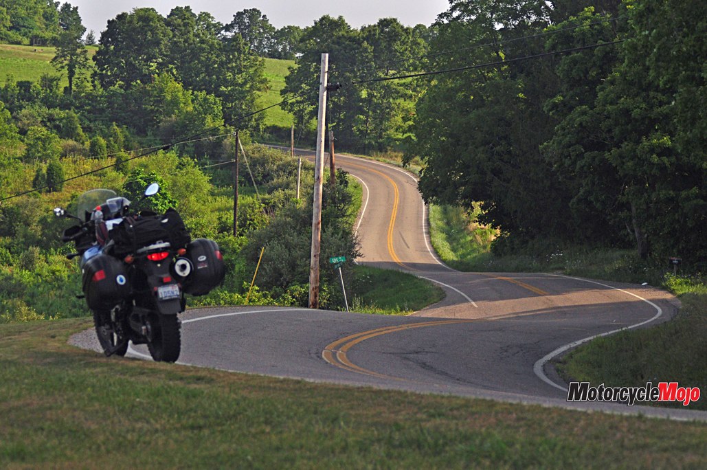
Days earlier, I had ridden my V-Strom DL 650 from the east, crossing over the Ohio River from Wheeling, West Virginia. I was impressed that even the interstates are photogenic here as they twist and turn, rising and falling, through the densely treed Appalachian Mountains. Highway 7
followed the bank of the river to Hannibal, Ohio, and I was reminded of the other Hannibal in Missouri, home of Huckleberry Finn, and of his slave Jim’s escape to freedom up this same Ohio River. As the border with West Virginia was a major division between slave and free states before the U.S. Civil War, the flight of African-Americans was a theme I would encounter many times in the days to come. The river is still a major thoroughfare as it’s lined with coal-burning and nuclear energy plants, and giant barges shuttle loads of coal to markets abroad. The tired houses speak of hard times.
The Other Dragon

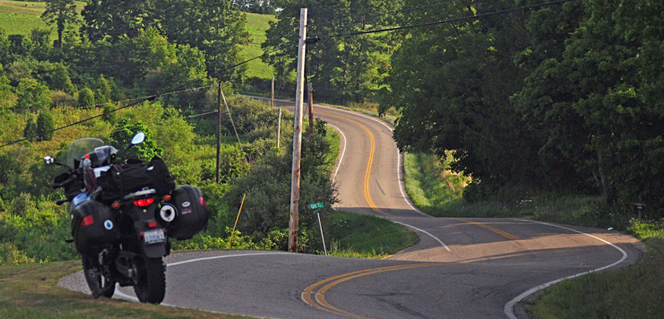
As evening fell, I encountered numerous deer in the fields and along the roadside. That was my cue to be off the bike, and I found a secluded hayfield along Six Points Road to camp for the night. Because of the heat, I didn’t even unroll my sleeping bag; I lay on top of my cot, enjoying the faintest breeze and the song of crickets as the full moon cast shadows all around.
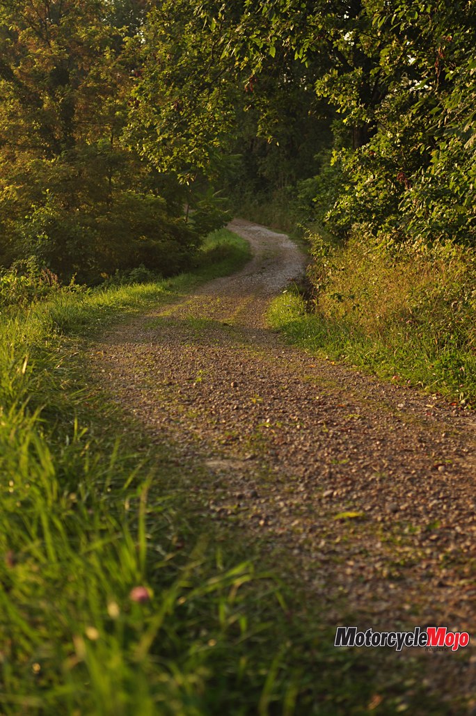
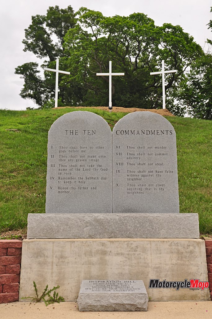
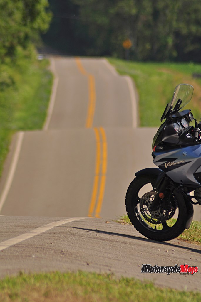
Ohio’s Dragon was only the beginning. The terrain was so pitched and varied that you would be hard-pressed to find a straight road anywhere in this quarter of the state. Even Route 800, which appeared more or less straight on the map, turned out to be a beautiful series of alluring curves. It didn’t take long for both Garmin and me to become wholly lost in the web of back roads, a mishap that brought the pleasure of discovering trails, barns and covered bridges in various states of repair. I emerged on Route 26, a National Forest Scenic Byway offering 50 km of wonderful twisties in rapid succession, the excellent paved surface allowing me to use all of the tire in the corners. The countryside was dotted with white churches that, along with Biblical place names like Sardis, Antioch and Pisgah, were a reminder of the area’s fundamental religious revivals of the mid-1800s. I passed signs for Moss Run Road, Hog Run Road and, to my amusement, Beer Run Road. “I bet that’s a popular detour,” I said in my helmet. But a second glance corrected my mistake: it said “Bear Run Road,” and in fine print (I swear), “Take a break before dehydration takes over completely.”
The Hub

I continued on 595 and 33 to Logan, home of Paul Johnson’s quirky Pencil Sharpener Museum. Although displaying thousands of items, the diminutive building, not more than four metres square, is more than adequate. Beautiful Route 664 led me to Hocking Hills State Park, where I stopped to explore “Old Man’s Cave.” It’s named for “old man” Richard Rowe, a recluse who, seeing the unfolding of the War of 1812, decided to inhabit a cave in the gorge. It was easily accessible via stone stairs, bridges and short tunnels. I enjoyed the relief of cool shade below the rim of the gorge, and marvelled at the rich colours of every stone, fern and tree.
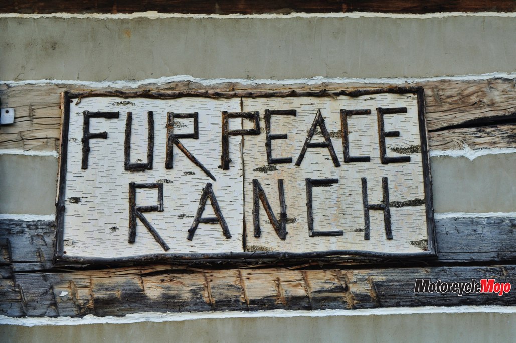
To the east I followed 278, which wound through Zaleski State Forest and around to Albany, once a major stop on the Underground Railroad and educational centre for African-Americans in the late 1800s. Nearby I noticed a small white Quaker church that was still in use. A historical plaque told how the “inner circle of old and reliable Friends (Quakers)” had played a major role in conducting slaves to freedom. And I just had to stop just north of Pomeroy at Jorma Kaukonen’s Fur Peace Ranch and Psylodelic Gallery. The name alone was enough to draw me in. Kaukonen, I learned, was one of the founders of Jefferson Airplane in 1965. And I discovered a guitar player’s paradise, complete with cabins, a dining room, workshops and classes, a concert hall and an art gallery devoted to bygone psychedelic days.
Regretful Decision
Another intensely hot day gave way only slightly to an oppressively warm night, and I wild camped again without shelter atop my camp cot. At dawn, temperatures were already stifling, and I couldn’t bring myself to pull on all that hot gear. I rode out wearing none of it, not even my helmet. It was a decision I would learn was the wrong one, and not for the most obvious of reasons.
Under the bright sun, I followed Route 50 out of Athens to 689 and 160, both of which were in good condition as they snaked their way through more sloping farm country. At Vinton, I took a detour to Rio Grande, the site of the original Bob Evans’ Farm and Homestead. Of course, I had to order a second breakfast before taking the short tour of the homestead-turned-museum. Highway 7 from Gallipolis to Pomeroy bore signage calling it the “Ohio River Scenic Byway,” which to me seemed a misnomer. However, following the river on 124 through Racine, Portland and Reedsville, I got a look at both the beautiful Appalachian Mountains and the intrusive smoke stacks and barges, as well as regal homes and littered shacks. In fact, I began to conclude, the entire region was a study in contrasts: poverty and wealth, vice and virtue, filth and beauty. That is to say, it was a microcosm of the complicated realities of modern life.
By noon, the harsh sun was beginning to burn my forehead, and I once again donned my helmet. I stopped at Buffington Island State Memorial, the site of a decisive Civil War battle that would determine the fate of millions of African-Americans. The Ohio-West Virginia border was hotly contested, and the outcome was by no means certain. To consider the cost in young lives is quite sobering. Route 124 brought me back along the Hocking River to Athens feeling nauseous and weak. And the fast-food cup of cold Cola felt like a gift from the gods as I held it to my throbbing head.

State Capital
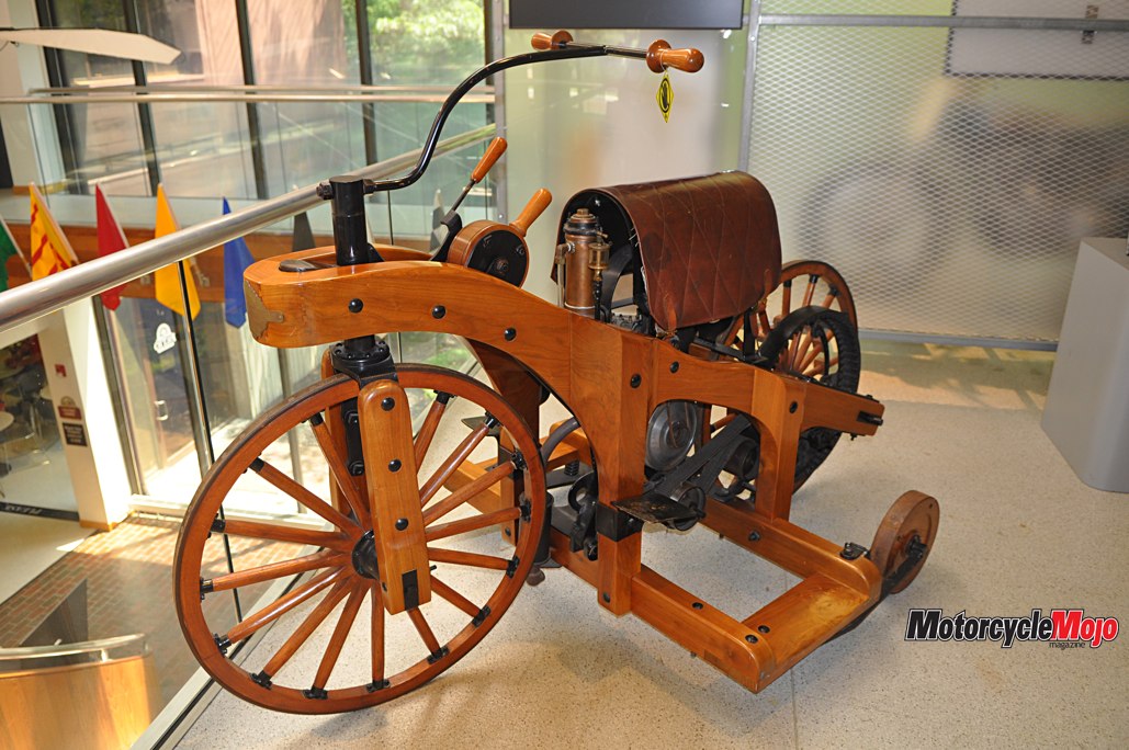
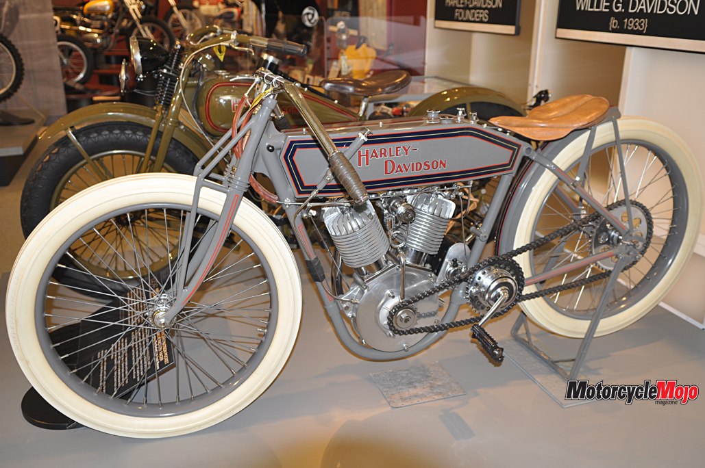
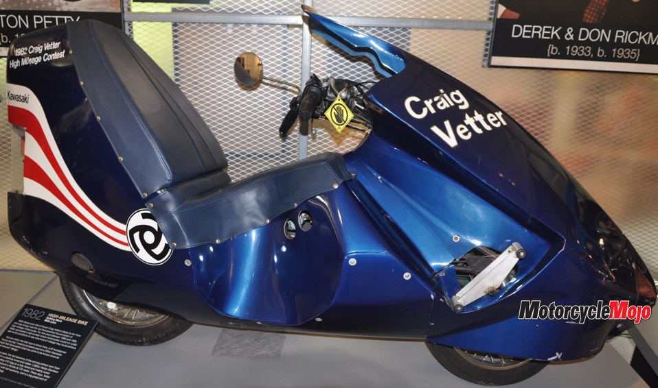
Another day of exploring led me to Columbus, where I spent midday touring the inspiring (and climate controlled) AMA Motorcycle Hall of Fame. And then it was south to Little Hocking on the banks of the Ohio River, where I was positioning myself for a ride home the next day on Hwy 555. The locally famous “Triple Nickel” is a long and curvaceous ribbon with no attractions or lunch stops. It would be just the road and me. As I found a place to camp for the night, I began to reflect on my discoveries. I could feel the weight of recent history, and a growing admiration for the courageous men and women of this rugged hill-country, living by their consciences and risking themselves for the rights of others. The first cool breeze in days came to me across the dark water, and together with our forebears I breathed deeply – the fresh air of freedom on the banks of the Ohio River.
Surviving the Heat
Since that Ohio ride, I’ve learned the magic number is 34. Below 34 C (93 F), it’s fairly easy to stay cool as long as you’re moving fast enough to get some wind against your skin for convective and evaporative cooling. Mesh gear or good venting works great. But above 34, the wind is no longer your friend. Think of a hot hair dryer. Although it may be counterintuitive, stripping down as I did is exactly the wrong thing to do. Rather, like a traditional Bedouin wrapped head to toe in the desert sun, you now need to minimize your body’s exposure to direct windblast.
Doing so actually reduces the amount of heat your body must lose through evaporation (sweating), allowing you to use less water, which, in tandem with temperature, is the other critical factor. In fact, the difference in water usage between covering up and not is about 600 ml/hour and 1,200 ml/hour, respectively. That’s a big difference. Hydration is critical. Carry lots of water and drink frequently.
Wearing a hydration pack, such as from Camelbak, allows you to take regular sips as you ride, which may be the most effective way to stay hydrated. Roughly one litre per hour is recommended in high heat, and drinking only at fuel stops will not be sufficient. If you aren’t going to use a hydration pack, carry a large jug of water and stop to drink every 20 to 30 minutes. Water, rather than caffeine or sugary drinks, is still the best option. Additionally, wearing moisture-wicking base layers can enhance the effects of evaporation, further reducing body temperature.
In extreme conditions, some riders will also soak a base layer T-shirt, while others will wear a high-tech “cooling vest” to bring temperatures down. Other useful tips include wearing a white helmet to reflect heat and throwing a white towel over the seat when you’re off the bike. If all else fails and you begin to notice signs of heat exhaustion (such as nausea, headache, cramps, dizziness, fatigue, flushed or pale skin, or heavy sweating), get off the road and find shelter in an air-conditioned convenience store or rest stop. Drink lots of water and rest until symptoms subside. Heat exhaustion, leading to heat stroke, can be fatal if ignored.