

A quick trip from Central Alberta to Vancouver Island reveals some amazing motorcycles roads and some premium island time.
 Vancouver Island, known to many in western Canada simply as “the island,” is accessible by scheduled air and ferry service, with one ferry route landing mid-island and the other arriving at the southern tip, just north of Victoria.
After a long day of riding through the British Columbia interior, I finally arrived at the tail end of a long row of Friday-afternoon commuters – like me, all hoping to catch the last afternoon ferry over to the island. My advantage, showing up by motorcycle, was that once I had paid my passage, a trip on the next ferry was virtually guaranteed. I tried not to smile too openly as I passed many annoyed motorists on my way to the front of the line. This was not the first time I had been one of the last vehicles loaded on the ferry, and once again, I found myself perched in a little space on the edge of the rear fantail. I was barely off the bike as the ferry pulled away from the dock.
Vancouver Island is the largest island off the west coast of North America, almost 460 kilometres long and 100 kilometres wide. It has an area of over 32,000 square kilometres, and I was here to explore as much of the island as I could in the short time I had.
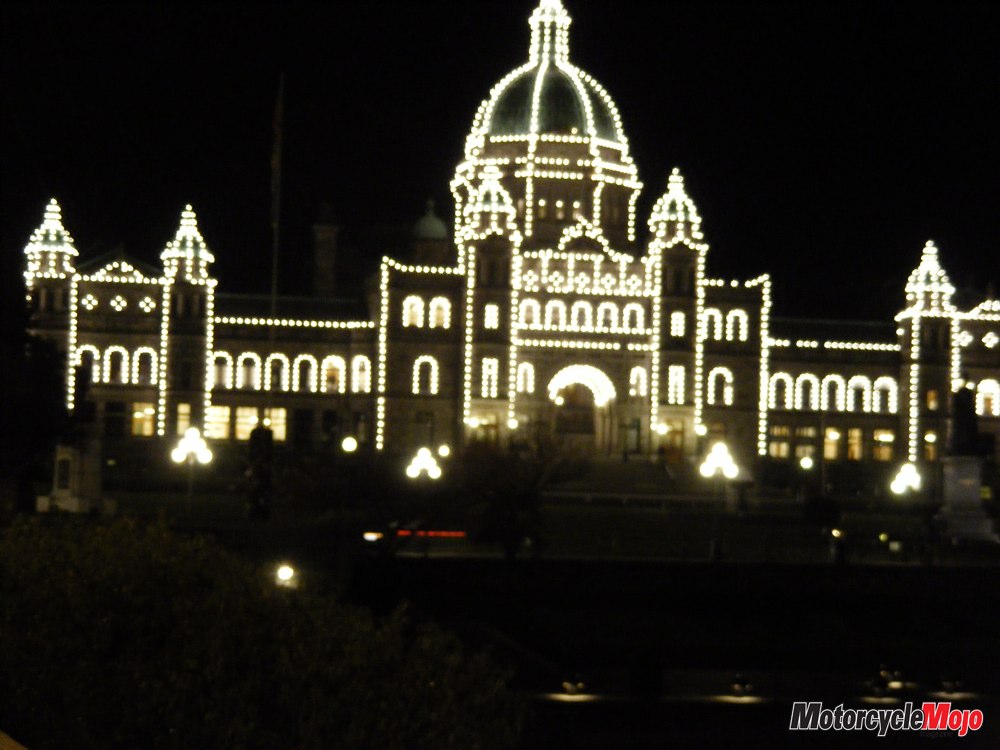
The late arrival on the island meant I was riding through downtown Victoria just after sunset, with all its illuminated British charm and tree-lined streets. I was amazed at the number of people out and about, enjoying the inner harbour and the summer evening.
 The next morning dawned clear and warm. I packed up the bike and headed back into Sooke, a suburb of Victoria that hugged the south shore of the island. After finding a spot to fuel up the bike and myself, I was ready to tackle the west coast of the island. Port Renfrew was only 70 kilometres up the coast, but it was at the end of some of the twistiest roads I would ride on the island.
Highway 14 headed west from Sooke along the south shore, and I’m sure that before Sooke grew into another suburb of Victoria, this road was a ripper for the local sportbike crowd. The turns were tight and plentiful, and it was tough to keep the speed dialled down to the suggested 40 kilometres an hour. I finally left the urban landscape behind as the road swung to the north and settled in beside the Pacific Ocean. Now this is what I had ridden across half of Alberta and the entire British Columbia mainland to get to, and judging by the packs of sportbikes gathering in fuel-station and convenience-store parking lots, I was going to have lots of company today.
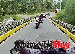
Highway 14 to Port Renfrew is a road coveted by two-wheeled enthusiasts. As I moved farther up the coast, most of the bikes fell behind me and I found myself riding with only four others, all stripped-down sportbike riders who definitely had ridden this road before and knew its twists and turns well. Chasing these guys added a whole new element of fun to this ride. The turns kept coming, the road kept climbing, and keeping my loaded sport tourer in sight of the sportbikes eventually became impossible. I had to let them go, but not before chasing them over a number of single-lane bridges. Finding single-lane bridges in western Canada was a surprise for me – it shows just how little vehicle traffic makes its way up the coast to Port Renfrew.
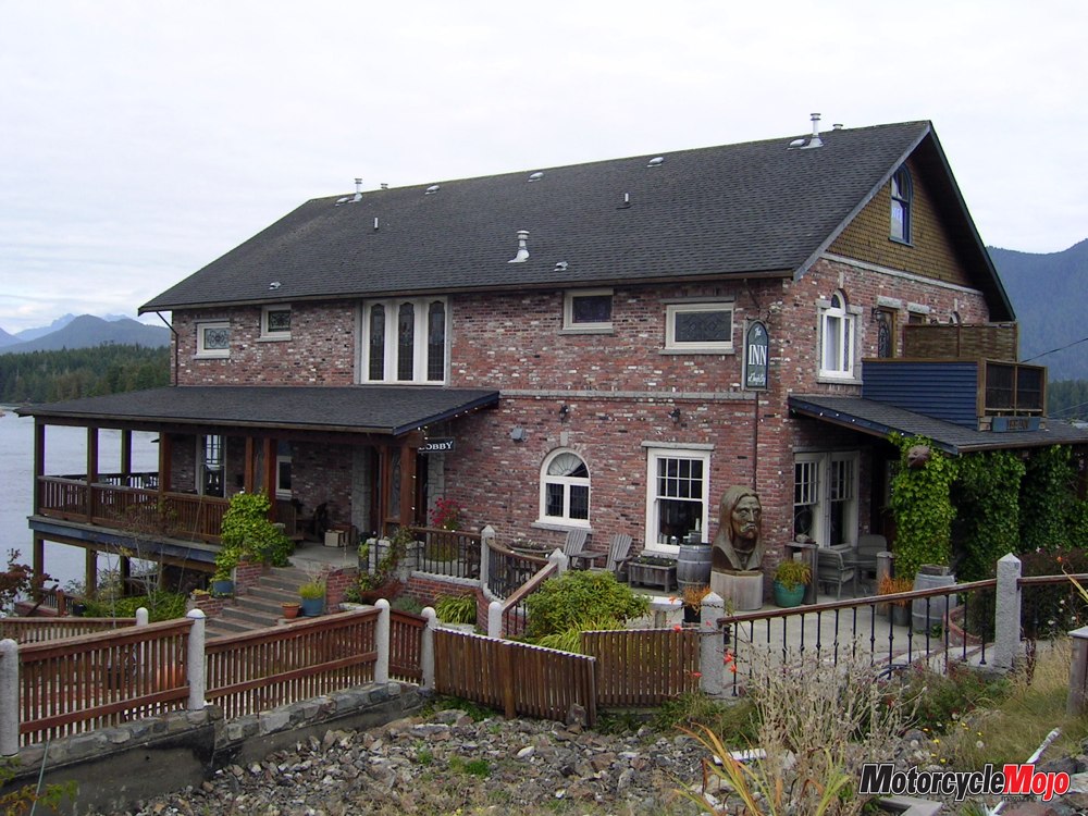
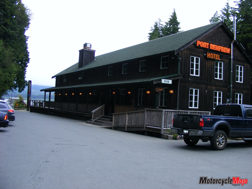
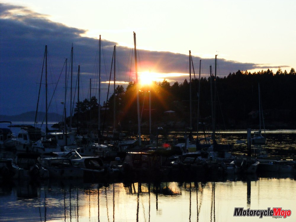
 Highway 14 terminates at the Port Renfrew Hotel, a long, wood-frame structure perched at the head of a long pier on a quiet bay. The last few kilometres into Port Renfrew were accompanied by typical West Vancouver Island weather, overcast, threatening to rain and about 15 degrees cooler than in Sooke.
In years past, the road to Port Renfrew ended there, and the only way back to Victoria on a paved road was by reversing your route. Recently, Hwy 18 was paved. It runs over the island’s central mountain range to Lake Cowichan and then to Duncan on the east side of the island, making a nice circle route. Travel time on Hwy 18 to Duncan is about two hours.
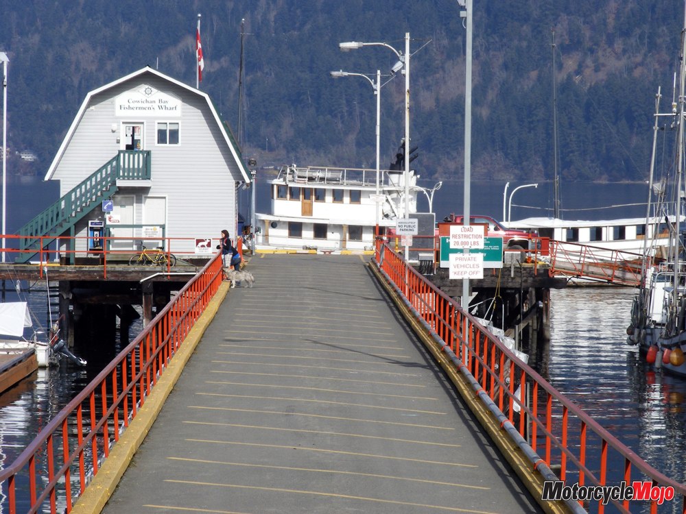
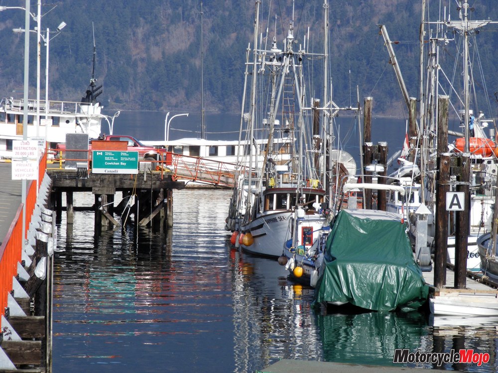
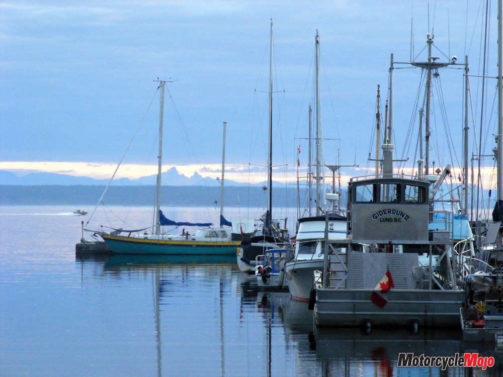
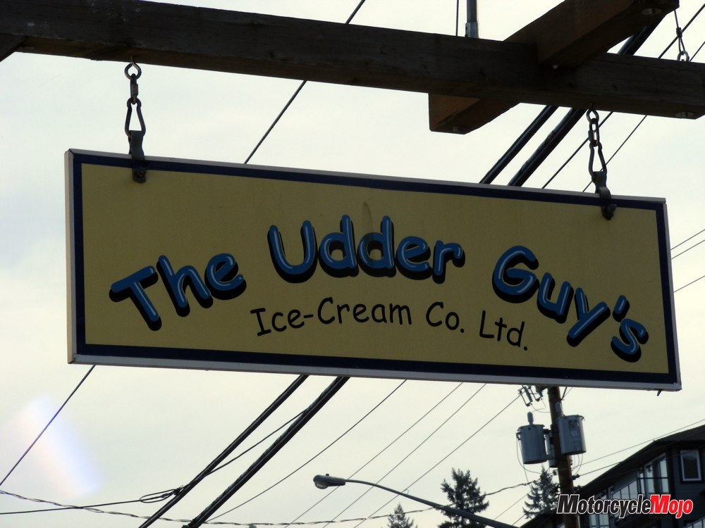
After arriving in Duncan, I headed south for a short distance on Island Hwy 1, and then a quick ride along Cowichan Bay Road brought me to scenic Cowichan Bay, where I decided it was time to take a break. This is another of those quaint little villages that appear up and down the east coast of the island. Places like the “Udder Guys” ice cream shop, “Hillary’s Cheese Co.” and the “Rock Cod Café” are some of the more popular spots located along the short street that runs parallel to the ocean.
I had one day left on the island, and a trip over to Tofino was a must. Tofino has become the island’s west-coast hot tourism spot. Surfing, whale watching and fishing are available to the many tourists who make the trip, and the trip itself is an adventure. The intersection of Island Hwy 1/19 and Hwy 4 to Tofino and Ucluelet is well marked. In recent years, the provincial government has started widening and straightening Hwy 4 along here, but the middle section, over the island’s central mountain range, has not been touched. That central section contains narrow roads, steep inclines, no guardrails and precipitous drop-offs. A challenge in good weather, it’s hazardous in the rain, where one mistake on a bike can spell disaster. It’s not uncommon on Vancouver Island to leave the east side of the island in the sunshine and ride into heavy weather as you climb and proceed west. The west side definitely has a remote, wild feel to it, which explains why most of Vancouver Island’s population resides on the more sheltered, east side of the island, but also why there’s a steady stream of tourists making the trip to discover the rugged western side.
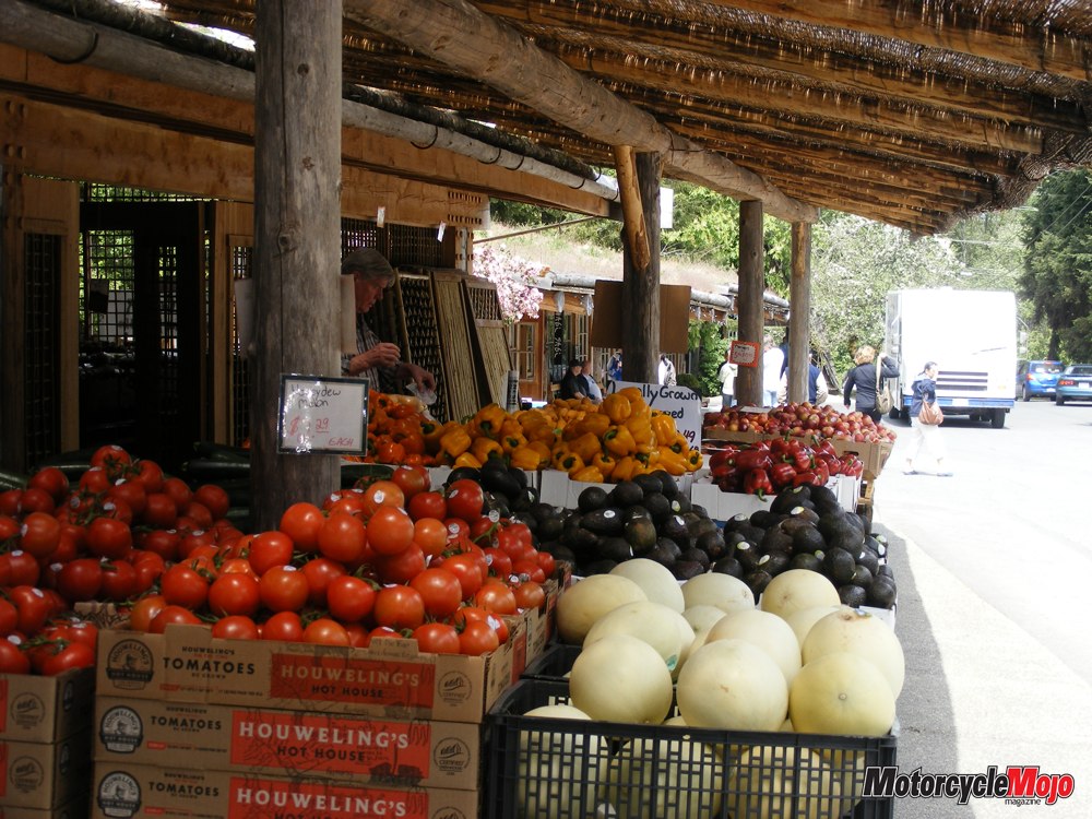
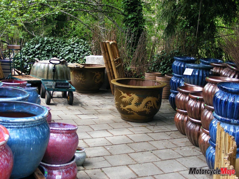
While in Tofino, make sure to venture down to the government wharf and get your picture taken next to the “mile zero” marker denoting the questionable western starting point of the Trans-Canada Highway (Victoria also claims to be the western starting point). Unlike many communities on Vancouver Island, Tofino has experienced only sporadic growth and has not lost any of its west-coast charm. Tofino’s tiny downtown has remained mostly unchanged for years now. Unfortunately, my ride over to Tofino was very wet, both going over and coming back. While I was in Tofino, the rain held off and I was able to browse the many Aboriginal art galleries and indulge in an awesome bowl of clam chowder at one of the restaurants overlooking the ocean. Upon my return to the east side of the island, I cut off Hwy 4 onto 4A and headed to my campsite in the tiny village of Coombs, where I had time to visit the Coombs Old Country Market and the home of the “Goats on the Roof” general store. This is a great little spot where live goats do indeed graze on the sod-covered roof. They are probably the most photographed goats on the west coast, and it’s quite a story as how they came to be there.
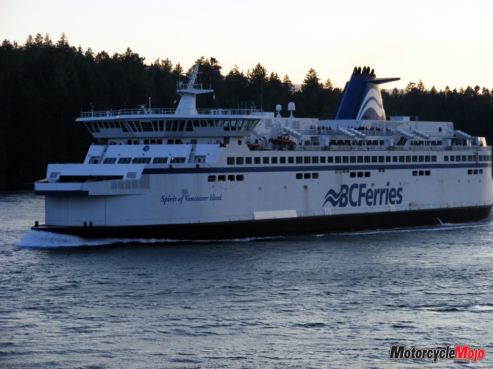
Make sure to visit the bakery in the store, and also sample the pizza in Cuckoo’s Italian eatery. My final morning on the island was nothing but an early, quick, eight-kilometre ride over to Parksville, and then a 40-kilometre, 35-minute ride down the Hwy 19 to the Departure Bay ferry terminal in Nanaimo to catch the first morning ferry back to the mainland. After arriving back on the mainland at the Horseshoe Bay ferry terminal, I looped back off the freeway and down into the tiny village of Horseshoe Bay. I enjoyed a coffee at a café across the road from the water – I needed to soak up a little more West Coast charm before I started my three-day, meandering return trip to central Alberta.