

Could this be the best-kept secret in the Smoky Mountains?
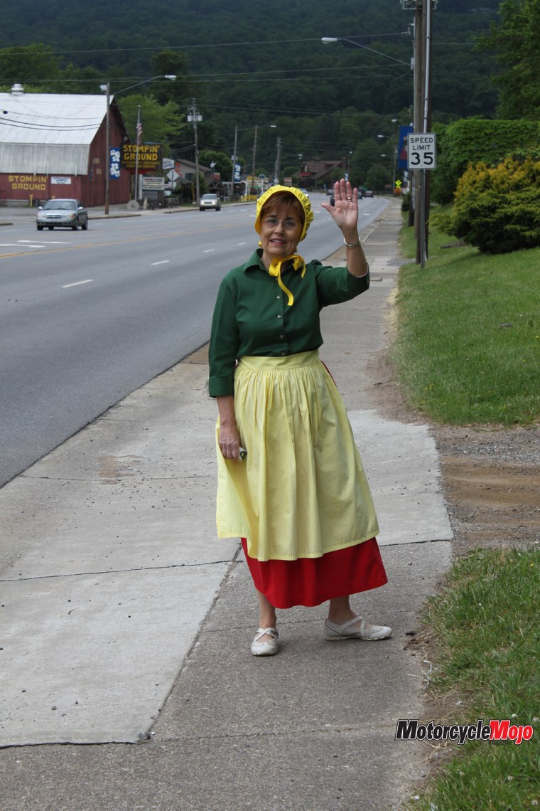
Nestled between the Great Smoky Mountain National Park and Nantahala National Forest lies beautiful, resplendent Maggie Valley, arguably the motorcycle touring hub of the southern Appalachians. As the morning mist dissipates, unveiling the lush upper reaches of the surrounding mountains, the only sound is the humming of my tires and the purr of the Gold Wing’s engine. I spot Maggie, walking along the sidewalk. She is the village’s iconic tourism tactic, dressed in her period clothes. She gives us a pleasant wave, as she does to everyone passing through the village.
Rubbernecking left and right, Tina and I, along with Rich and Liz, pass by the early-morning risers at the breakfast joints along the way. From Soco Road, Highway 276 climbs up and over the hills, skirting Waynesville, and rolls on to NC 74, the Great Smoky Mountain Expressway. The sun is peeping through the clouds, heralding another grand day as we take exit 81 and sweep around onto NC 23 into Dillsboro.
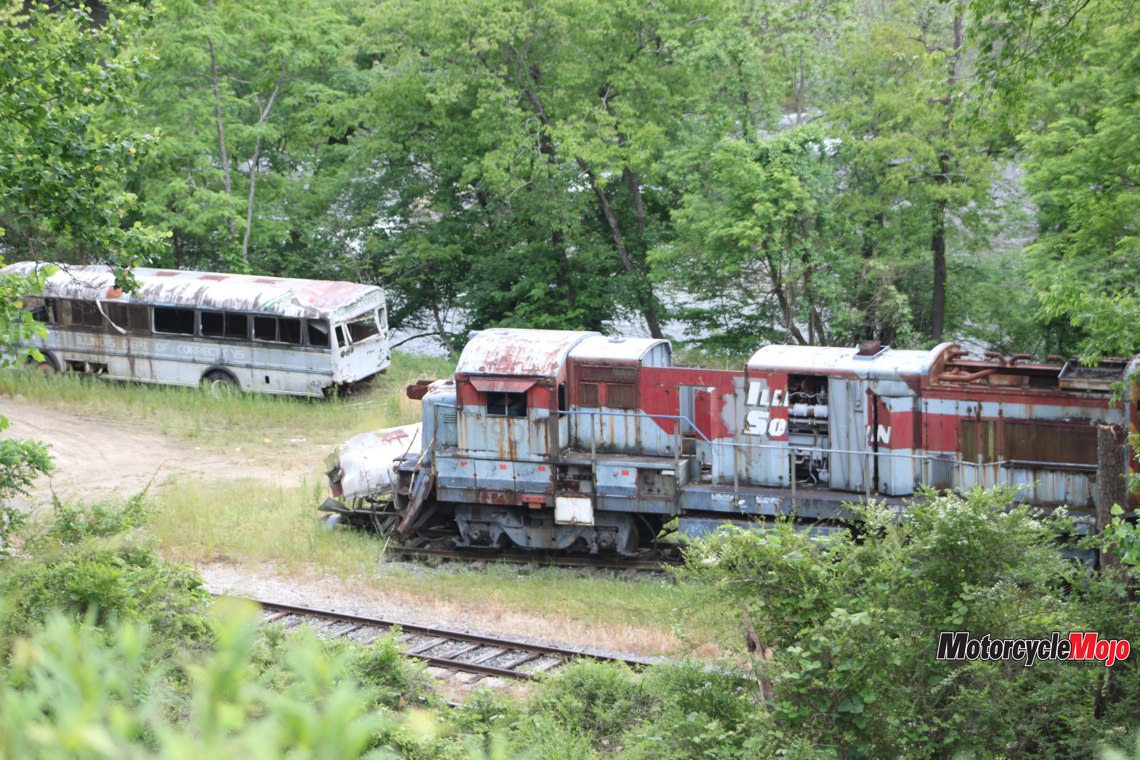
Derelict Movie Star

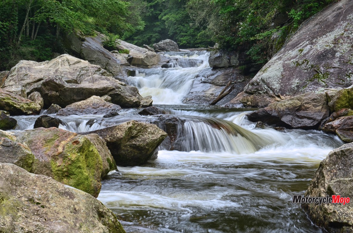
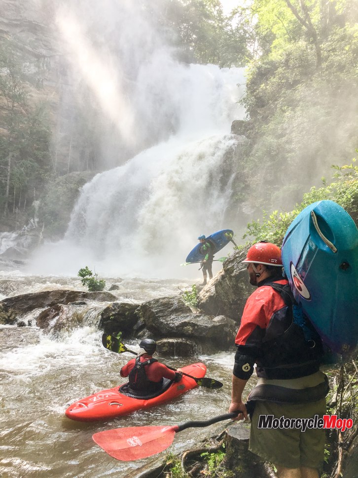
Backtracking to Sylva, Hwy 107 threads us through Nantahala National Forest. Like a wriggling eel, the sinewy blacktop winds through villages with Cherokee names, Cullowhee and Tuckasegee, along the shores of Lake Glenville, originally known as the Thorpe Reservoir. In 1940, the war effort created a need for more raw materials, so the Lake Glenville Dam was built at Onion Falls, by Alcoa Aluminum, creating the present-day lake. The lake occupies the entire valley north of the town of Cashiers – a beautiful, peaceful vacation destination, except when Duke Energy does a water release and Glenville Falls, at the south end of the lake, becomes a raging torrent, much to the delight of kayakers.
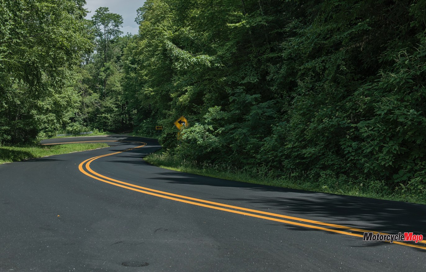
Heading out of Cashiers, we’re treated to a ride along State 64 through dense North Carolina forest on our way to Highlands. For 16 km, curves and hairpins roll through bower-like overhanging trees; it’s like riding through cool, green tunnels protecting us from the sun. Finally, bursting out of the forest into the sunshine, we arrive at Highlands. At Buck’s Coffee Cafe, a cute hangout, we relax for a bit. The girls entertain themselves with some window-shopping in the well-to-do artsy town while Rich and I sit on a bench and do some people watching.
All That Glitters

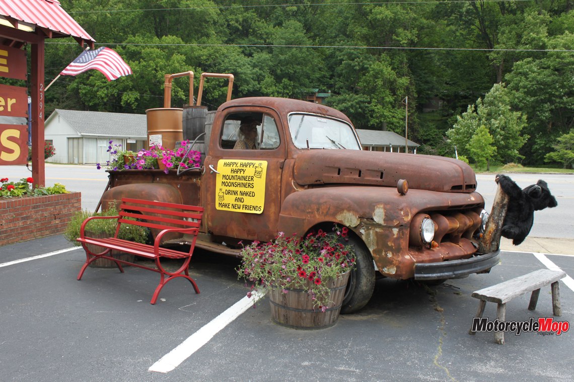
That gnawing feeling tells me it’s time to feed, so we hurtle onward, following the meandering Cullasaja River into Franklin, the self-described Gem Capital of the World. Sapphires and rubies are in abundance under these hills, and following that theme of glitter and gleam, the Motor Co. Grill, a 1950s-themed diner, is our choice for lunch. Embellished with polished chrome and shiny red vinyl, it reminds me of Arnold’s, the restaurant in the television sitcom Happy Days. The menu of burgers and shakes takes me back to a simpler time in America. But the gems we’re after today are made of asphalt, not precious metals, so in short order, we’re on the road again.
Four-lane Murphy Road zooms us quickly out of town to Patton Road, where a couple of turns puts us into the hills of thrills, Wayah Road, aka Thunder Road. Wayah is also the Cherokee word for wolf, and for the next 45 km, this pretzel-like rhapsody in blacktop will twist and turn us, snaking its way up the Nantahala Mountains through Wayah Gap, and then careen us down its western slopes. This gem is off the beaten path for most motorcyclists, who are drawn to the more renowned, but heavily populated, Deals Gap, just a few hills yonder. No traffic here, except for some repaving work that slows us momentarily. Nobody knows how the name Thunder Road became its moniker, but moonshiners, fast cars and an old Robert Mitchum movie come to mind.
It Was Worth the Adventure
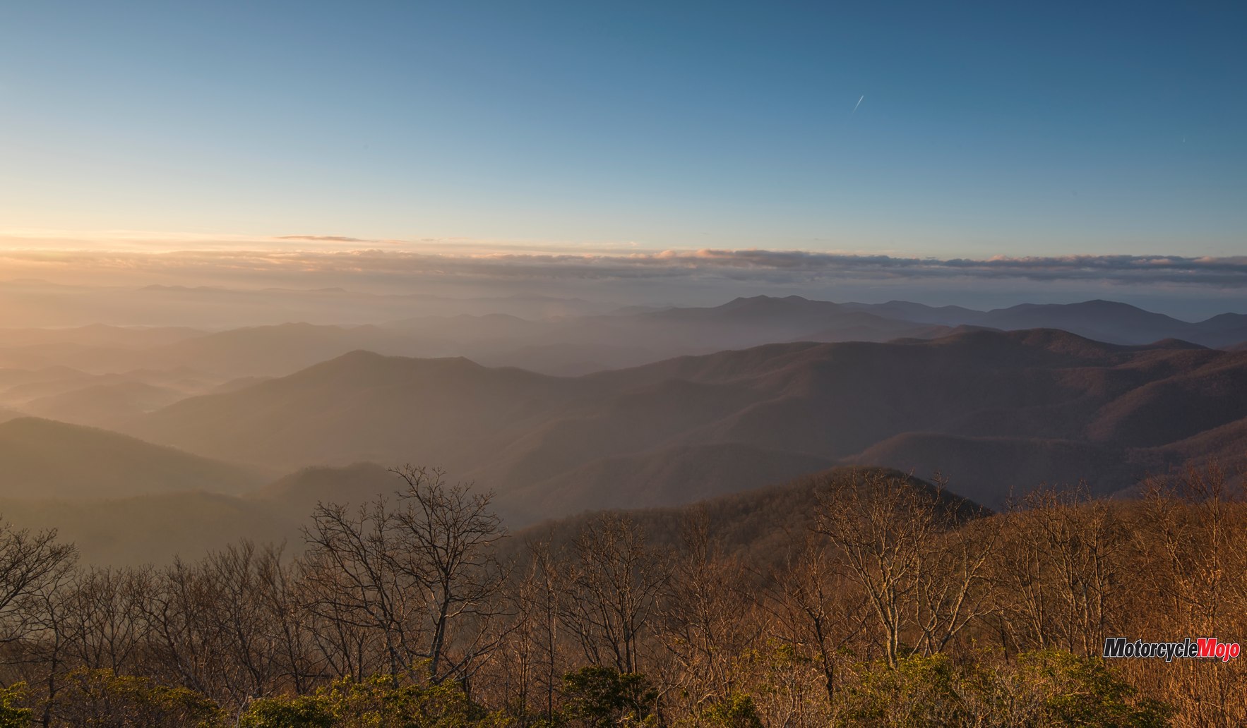
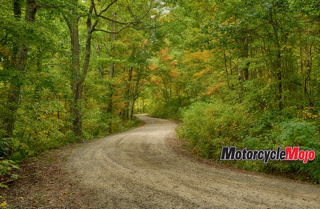
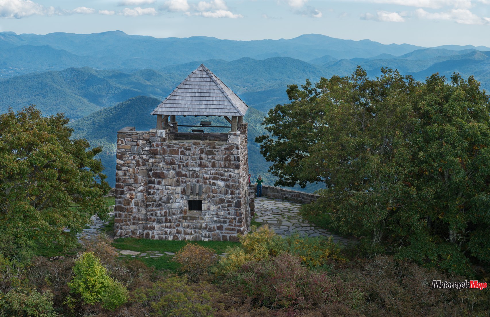
After 14 km of curves and sweepers, we turn right onto the gravel of National Forest Road. Not for the timid, and definitely not for 900-pound Gold Wings with passengers, we bump, twist and turn through washboard corners, fighting for balance as we terrace upward for almost 7 km to the mile-high Wayah Bald and its stone tower. Built as a fire tower in 1937 by the Civilian Conservation Corps, it was decommissioned in the 1940s. Now it serves as a panoramic lookout with views of the Great Smoky Mountains and as far south as Georgia, and it’s here that the Appalachian Trail and Bartram Trail cross.
Skittering downward to Wayah Road, we begin our descent on the west side of the mountain. Unlike Deals Gap, Wayah Road has driveways that sometimes, after heavy rains, can wash gravel onto the road. A rider must be aware of the possibilities of a day’s ride ending in disaster and ride accordingly.
Just a Big Sport Bike

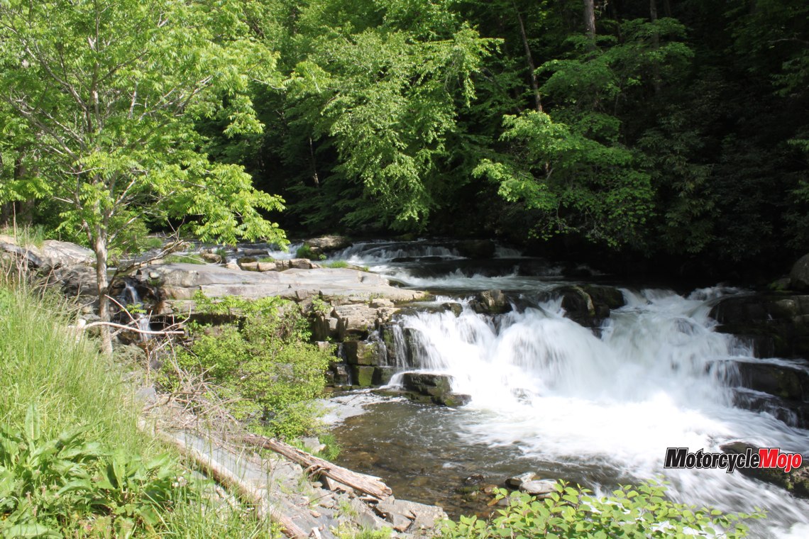
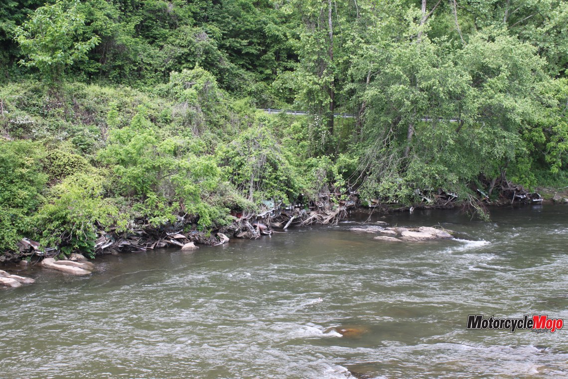
Long past the apex of Wayah Road, we now hug the whitewater shoreline as the Nantahala River whooshes onward to provide more electricity at Fontana Dam near Deals Gap, and the Cheoah Dam, made famous by Harrison Ford’s spectacular dive in the movie The Fugitive, although it was actually a stunt man. In the Cherokee language, Nantahala means “Land of the Noonday Sun,” and because the river runs through such a narrow, steep gorge, it only sees sunlight when the sun is directly overhead.
Regardless of the sun’s position, any time of day is good to ride Thunder Road, one of the nicest, least ridden and most crooked roads in the Smokies. So please, don’t tell anyone about this two-wheeled Shangri-la.