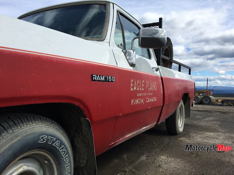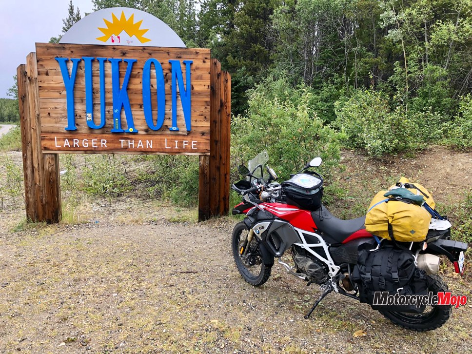

Hard to spell, wonderful to get to.
A chance placement beside the Northwest Territories tourism department at the 2010 Edmonton motorcycle show allowed me and Merven Gruben, the mayor of Tuktoyaktuk, to chat about motorcycle riding in the NWT. There had been riders taking the gravel Dempster Highway into Inuvik, but taking a motorcycle the last hundred or so kilometres into his hamlet of Tuktoyaktuk could only be done by boat up the Mackenzie River in the summer, or ice road in the winter. He did mention there were rumours of the government wanting to put in an all-weather road from Inuvik to Tuk, but as with all government projects in the North, nobody believes them until they are fully completed.
At the motorcycle show in January 2018, we were again positioned a few booths away from the NWT tourism booth and its strong, inviting message was clear: The Inuvik–Tuktoyaktuk road is open!
A Plan in the Works
Being a world motorcycle traveller, the thought of riding to Tuk relit my curiosity. The need to see it in person had never gone away, and if the road was open, then I wanted to see it for myself. Furthermore, if the ride proved interesting, I would consider adding it to the list of places our motorcycle tour company could bring riders, and that meant a quick trip to Inuvik to investigate the roads, hotels, restaurants and emergency services.
I flew to Inuvik in early March, into a world still white and cold from a lingering winter. I had grown up in Edmonton, so a winter scene with short hours of daylight was not unusual, but I was shocked by how long it took to fly north of Edmonton to get there. A two-hour flight to Yellowknife, and another two-hour flight north to Inuvik. It was the first time that the scale of Canada’s North needed to be relevant to me.
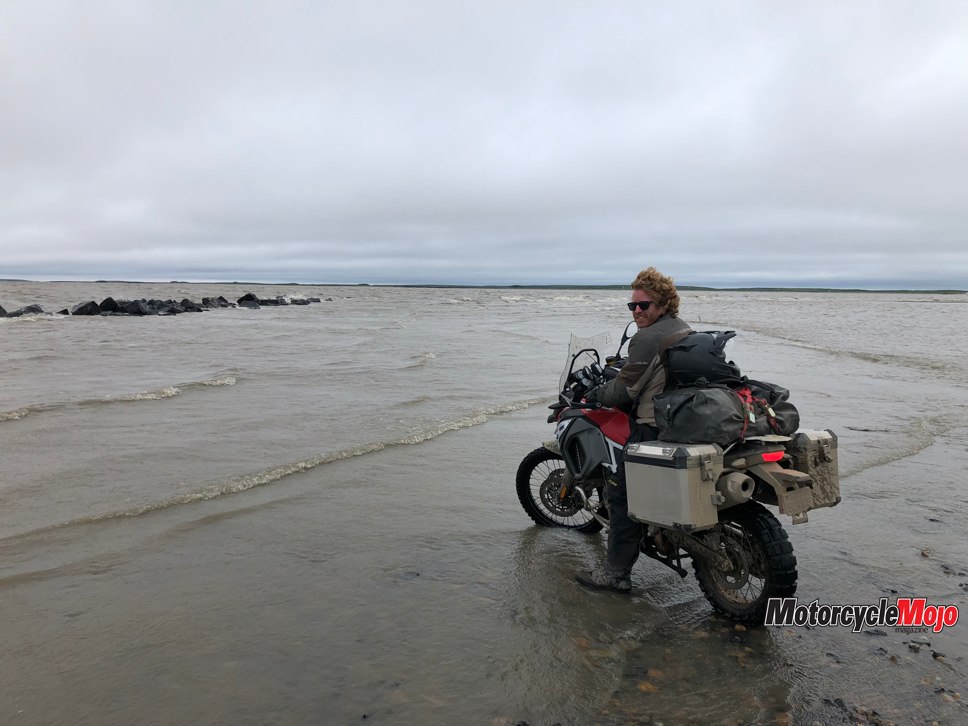
Over my $25 bowl of spaghetti I met with Chief Lawrence Neyando of the Inuvik Band, who also happens to be an avid KLR rider. He felt the general outlook on the road was that it was going to become the place to come and ride for the adventure-minded. He reminded me that although Prudhoe Bay is technically farther north than Tuktoyaktuk by 100 km, Prudhoe Bay is a working oil and gas area, and that means visiting the Arctic Ocean involves leaving your motorcycle behind and signing up for a bus tour to take you to the water. Tuktoyaktuk will happily hold the claim to be the only place in North America where you can ride your motorcycle into the Arctic Ocean.
On the Road

A week before our scheduled departure, we purchased a chase van to assist with our South America tours. The van had a new radio system installed to help the driver stay in radio contact with the motorcycle guides, and I was keen to use this ride as a test run for the van and communication system. I called up Piet Human to see if he was available to take my place on the bike. Piet is one of our South African guides who had just returned from five weeks on tour in Mongolia. With a “yee-haw!” he flew to B.C. to ride the second F800GS while I followed behind in the van.
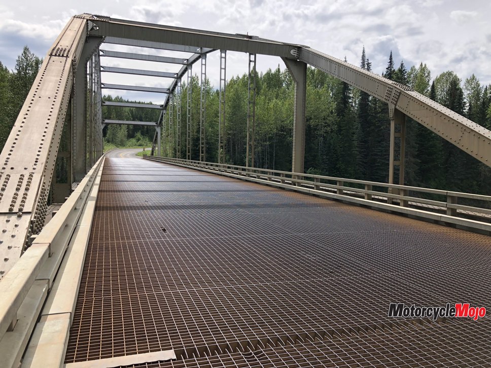
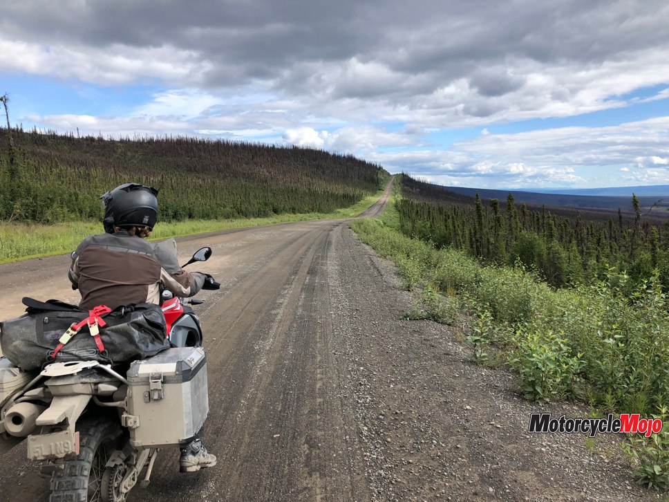
Looking at the maps over our morning coffee, it was easy for our small group to see that this trip consisted of three distinct legs: (1) 3,000 mostly paved kilometres from Vancouver to Dawson City, Yukon; (2) 770 km of gravel on the magnificent Dempster Highway running from Dawson City to Inuvik; and (3) 150 km of gravel on the new Inuvik–Tuktoyaktuk Highway.
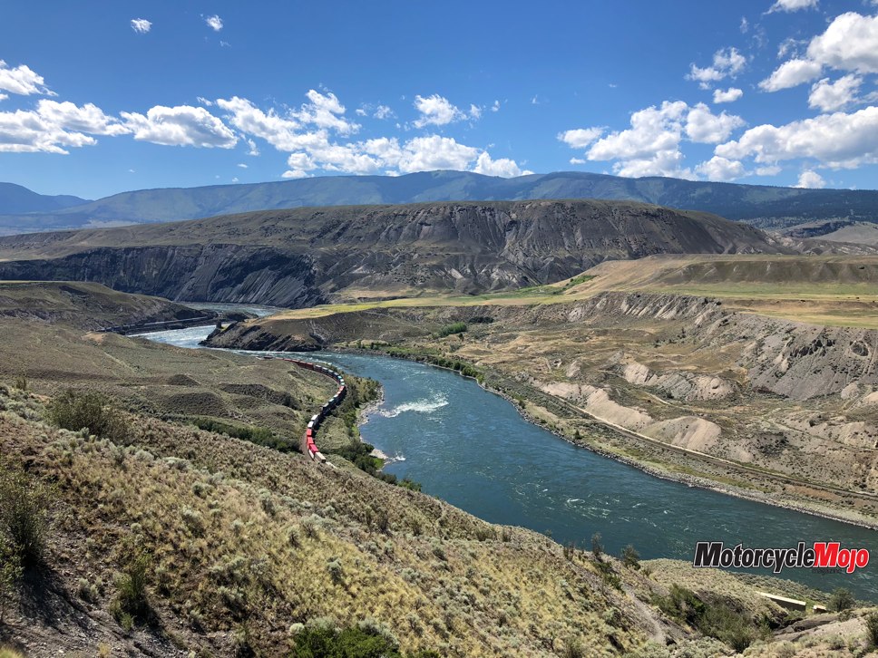
Our run to Dawson City was completed with mostly good weather and gorgeous mountain scenery that northern British Columbia is renowned for. Our one regret was that our side trip from Dease Lake to Telegraph Creek was cancelled due to rain, and the subsequent learning that the tiny community of Telegraph Creek was badly damaged in the 2018 forest fires.
Adventure Foiled
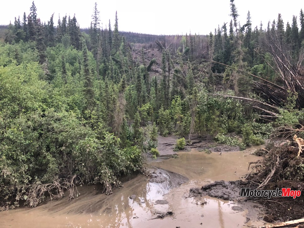
We arrived in high spirits into Dawson City, ready to launch into Canada’s Far North when I received a text from Chief Neyando in Inuvik. A friend of his was stuck on the highway because of a mudslide. It seemed that heavy rains had caused erosion and water damage to hillsides and the Dempster Highway was closed. Our adventure from Dawson City to Tuk stopped even before it started.
The Dempster Highway took its general direction from an existing dog-sledding route, while the initial source of funding had been driven by oil and gas exploration in the 1950s. It would take until 1978 to be finished completely, crossing two major mountain ranges and two rivers (including the mighty Mackenzie) to link Dawson City and Inuvik. It would be a bitter pill to swallow if our travels were thwarted by a road closure and we were not able to see any of it.
It was, however, oddly comforting to realize that Mother Nature ultimately held the cards for the successful transiting of the highway, and none of the willing travellers’ fancy bikes, 4x4s, buses or camper trucks could trump her. This fact, in addition to the remoteness, stunning scenery, sheer length and lack of resources on the Dempster cements its status as one of Canada’s greatest wilderness highways.
Green Light Means Go!
Back in Dawson City, we were advised to keep an eye on 511yukon.ca, the Yukon government’s highways and public works website, to obtain the latest on the road closure. We excessively and compulsively kept refreshing the website all night, but it was not until breakfast the following morning that we received the green light: one lane had been opened!
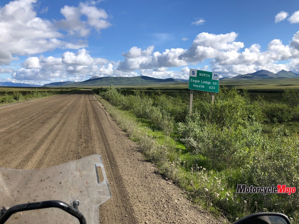
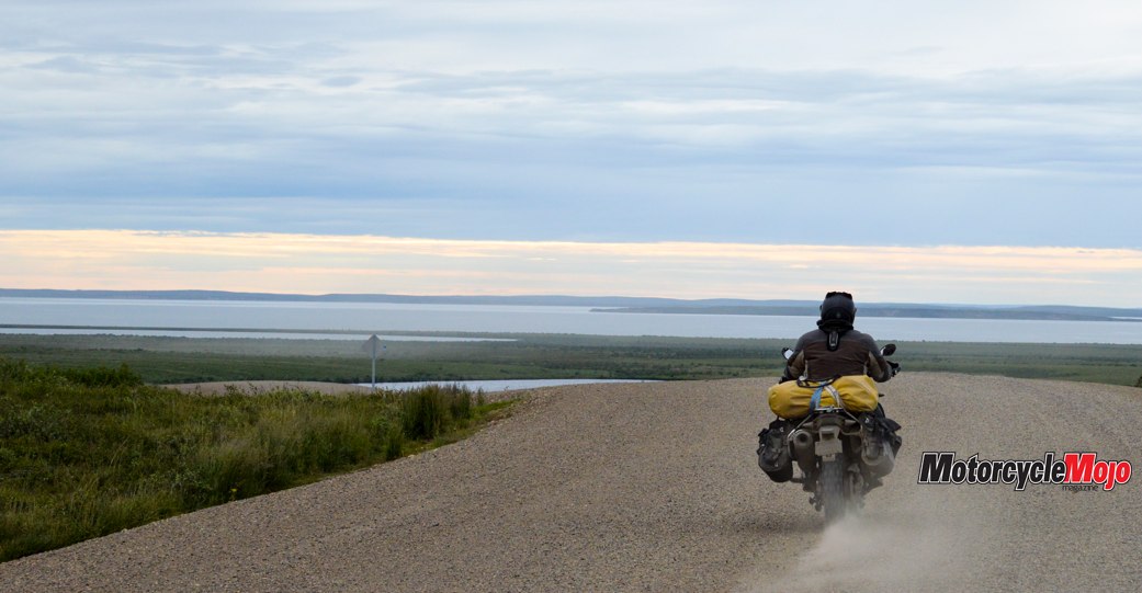
With full fuel tanks we headed north. On the Dempster, fuel is only available at Eagle Plains (400 km), Fort McPherson (590 km) and Tsiigehtchic (650 km). Casual map reading suggested splitting the Dempster run into two legs, travelling to the halfway point in Eagle Plains and the next day carrying on to Inuvik. And perhaps this is the secret of the northern roads: casual, flippant or normal route planning does not fit well with the reality of serious northern weather. With a good-weather window on us for the next few days, we decided to push through to Inuvik in a day, which would still allow us a reasonable forecast for getting up to Tuk the following morning.
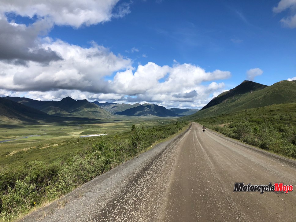
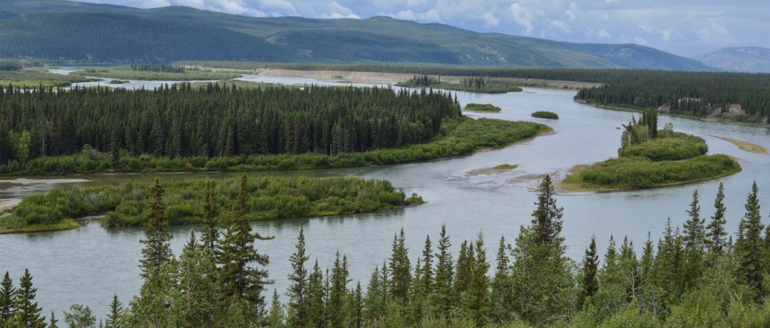
Initial concerns about the condition of the Dempster faded as we were treated to beautiful skies and a smooth and packed running surface, so we could concentrate on the grand and striking scenery that flew past on either side. In less than an hour we reached the Tombstone Territorial Park, leading us through a transition from the familiar vast pine forests intertwined with lakes and rivers to the rugged and spiky Tombstone Mountains standing guard over a green tundra. Stopping for pictures led to wonder on the scale of the park and a game where we tried to reasonably estimate the distance from a mountain range on the one side of the road to the mountain range on the other side – an impossible task.
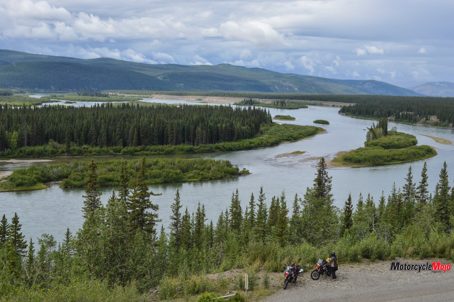
Following the Water
As we cleared the park, we left a southern watershed whose water would end up in the Yukon River and then west to the Bering Sea. From then on we followed watercourses that feed the Mackenzie River, and like that river, we wound our way steadily north to the Beaufort Sea and the Arctic Ocean.
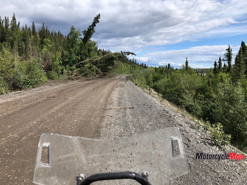
At nearly the halfway point, Eagle Plains is a fuel station, a workshop, a lodge and a welcome respite from the realities of northern weather. Despite a sign at the start of the Dempster warning travellers of no emergency medical services, the lodge has its own ambulance, which had been busy in the week prior to our arrival, mostly due to some bikers crashing on the muddy road.
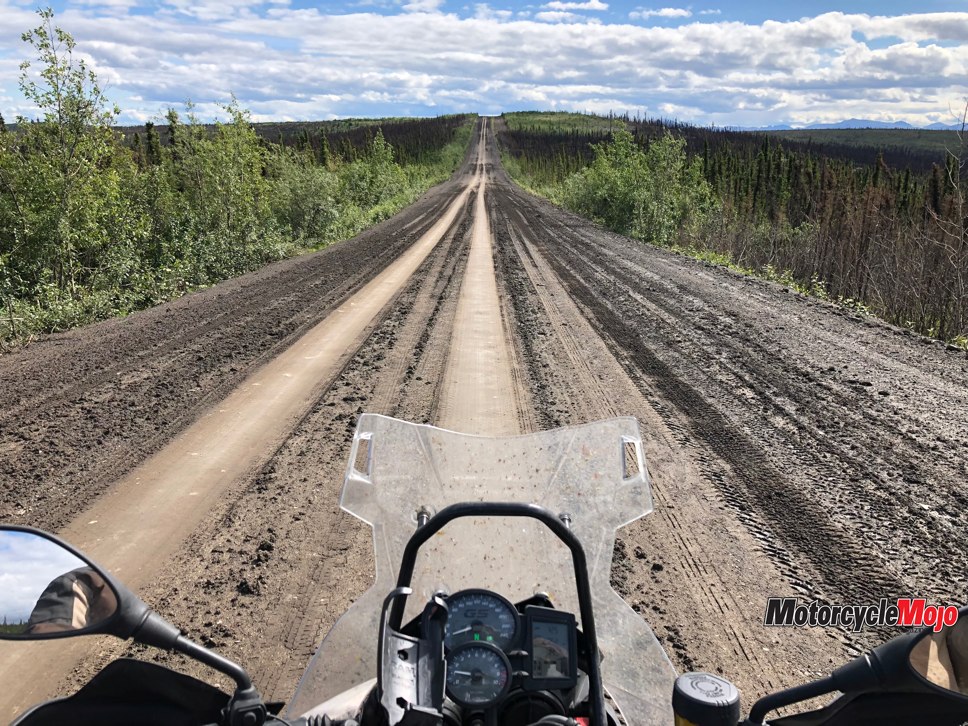
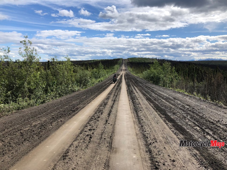
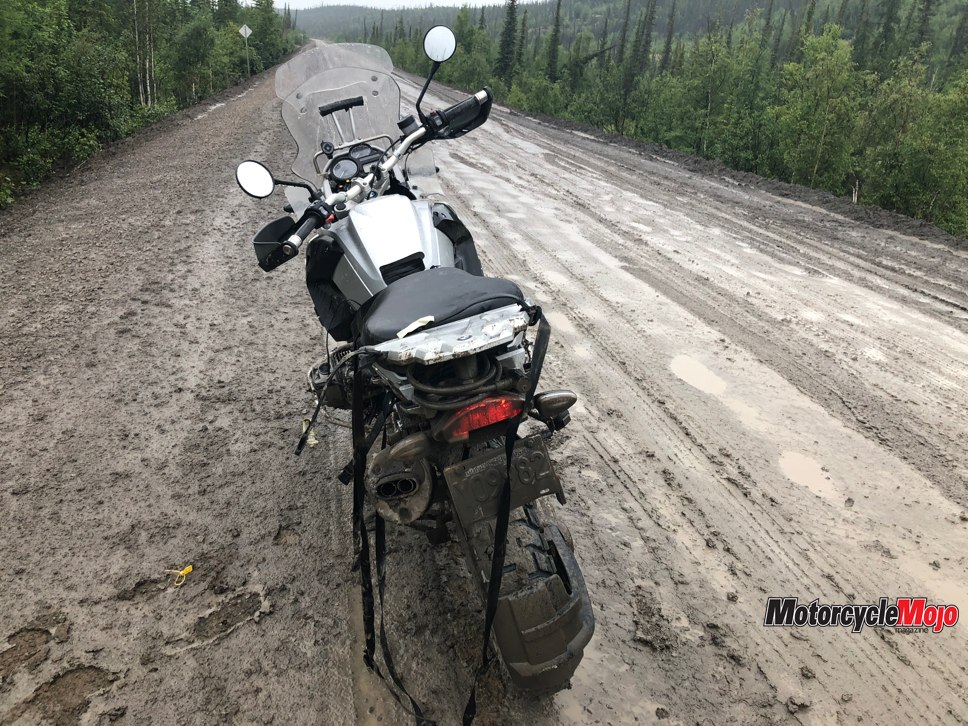
Over dinner in Eagle Plains, we decided that although there is only one Dempster Highway, she has two personalities, and which one shows up depends entirely on how much rain has fallen in the previous few days. A dry Dempster is a fast track of playful curves and tempting straightaways. A wet Dempster is a mess. As with other adventurous destinations, it was apparent that the best thing you can include on your packing list for getting here is a handful of spare days to let the road dry out if needed. Evidence of rain and muddy vehicle travel were obvious in the wandering sets of criss-crossing ruts spanning the width of the road. If the road had some time to dry, tire tracks would start to firm up and create a single set of light-coloured tracks, leaving dark areas on either side to be cautiously avoided.
Crossing the Arctic Circle

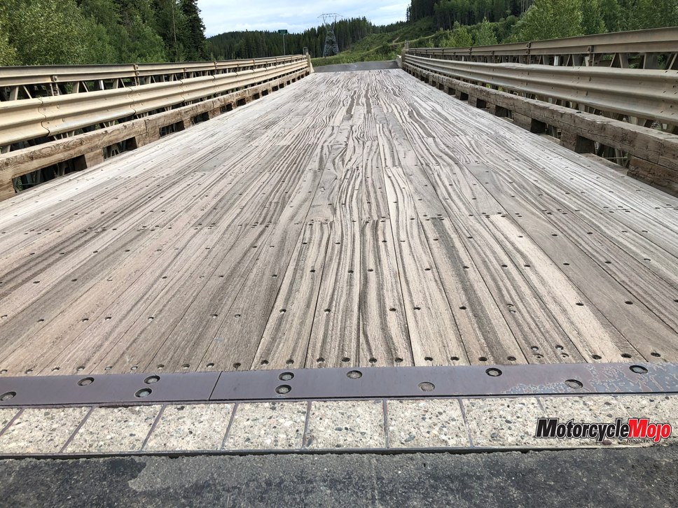
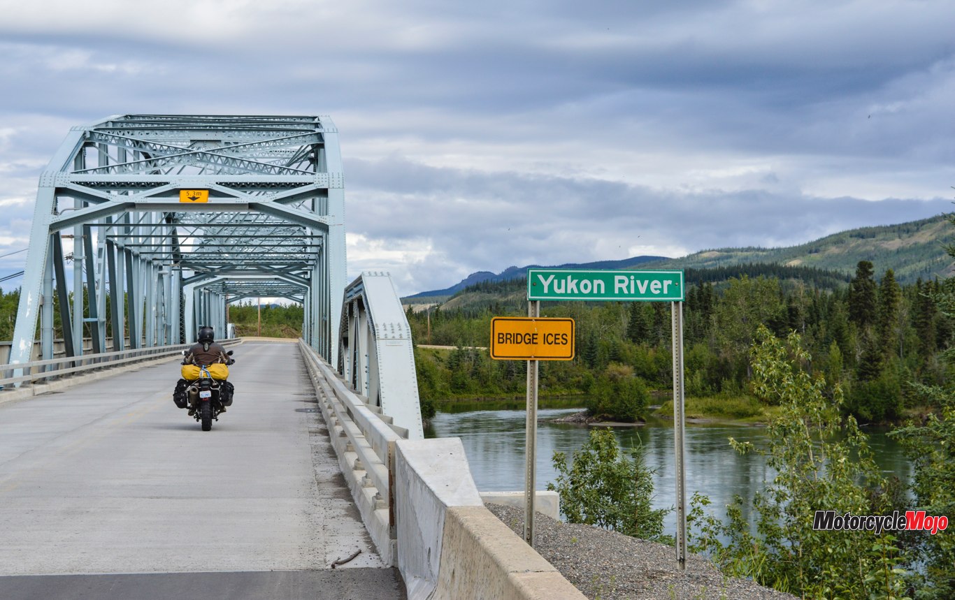
An hour north of the Arctic Circle we hit the border of the NWT. The foreboding mountains from the morning were giving way to muted, undulating lands, and the openness of the Mackenzie Delta was easier to understand. The wide waters of the Peel and Mackenzie Rivers were crossed with free ferries, but in winter these rivers are crossed with an ice bridge on the frozen water. This also means that twice a year – during the river’s freeze-up and thaw – the northern section of the Dempster Highway is cut off from the rest of Canada.
Our gamble with the weather paid off, and our weather window held perfectly throughout the day. With the Mackenzie ferry behind us, it was a blast of straight roads, comfortable speeds and smooth riding until the handful of paved roads of Inuvik welcomed us.
24 Hours of Daylight
With the bikes parked and the sun solidly in the sky, we wandered around for a place to eat, tricked by the daylight, which made it seem earlier than it was. Most of the restaurants had closed at 10 p.m., and at 11 we convinced staff at a burger joint to squeak out three more burgers before they too closed for the night.
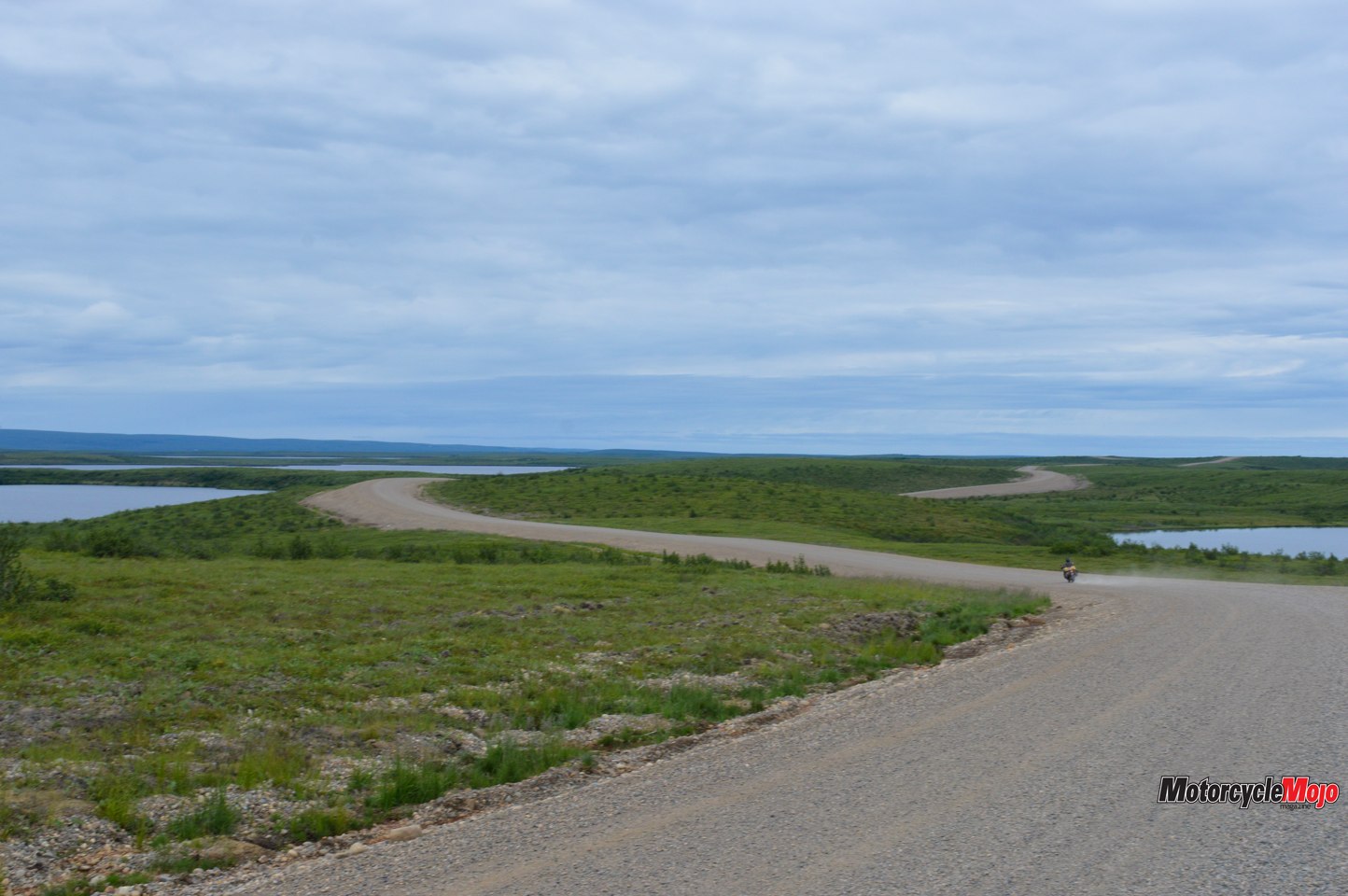
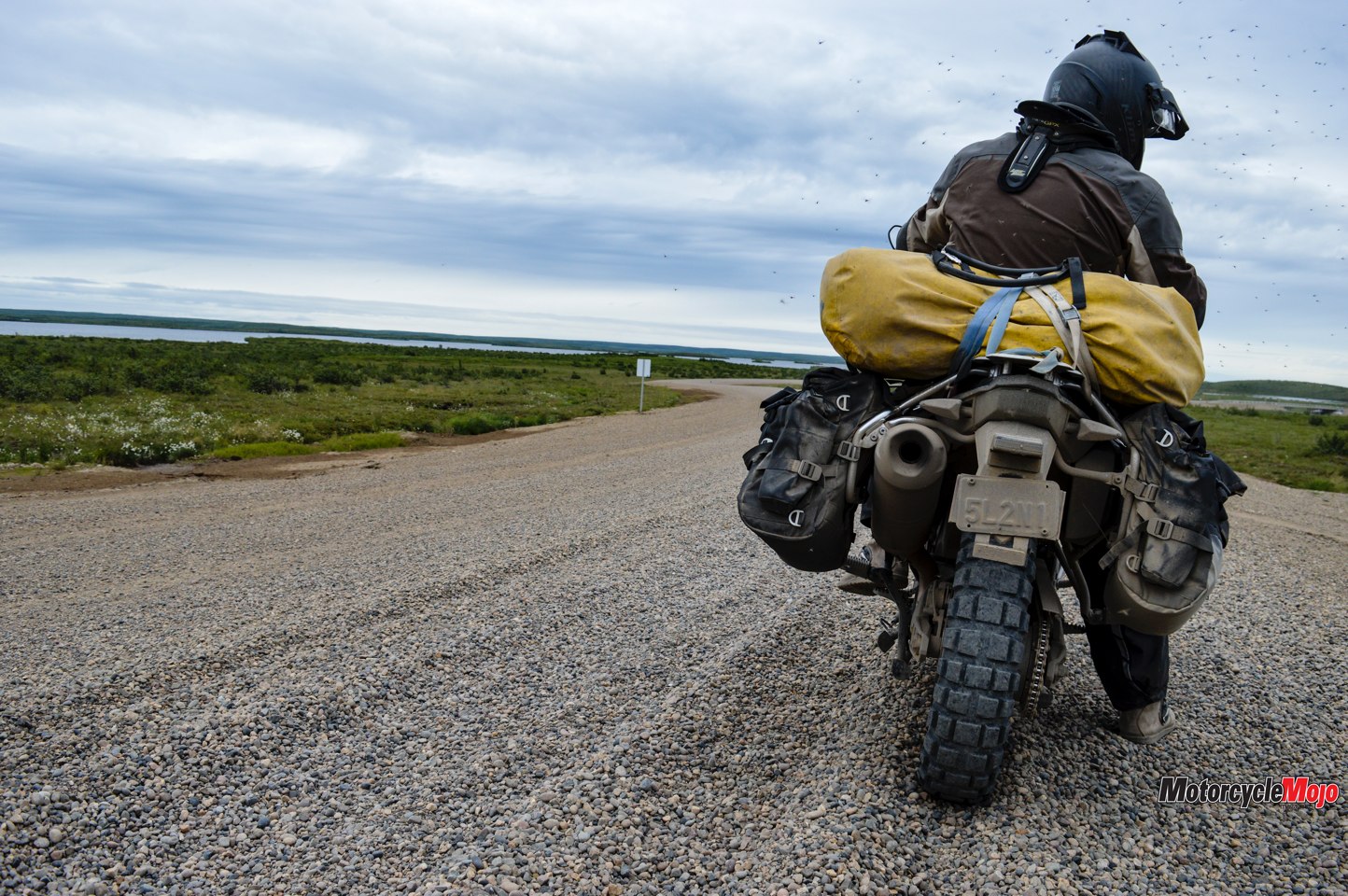
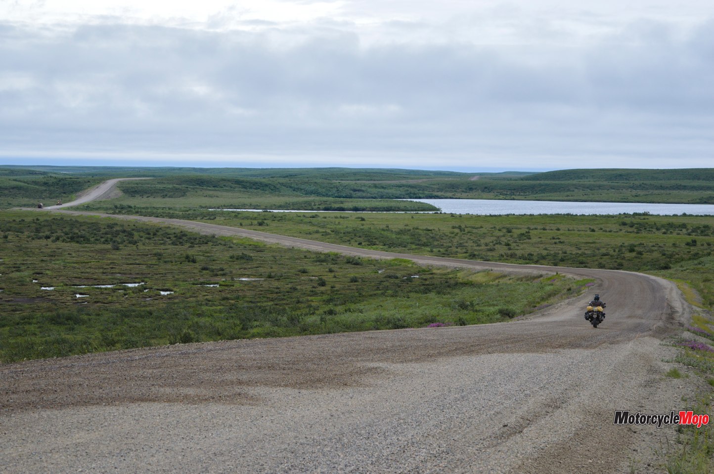
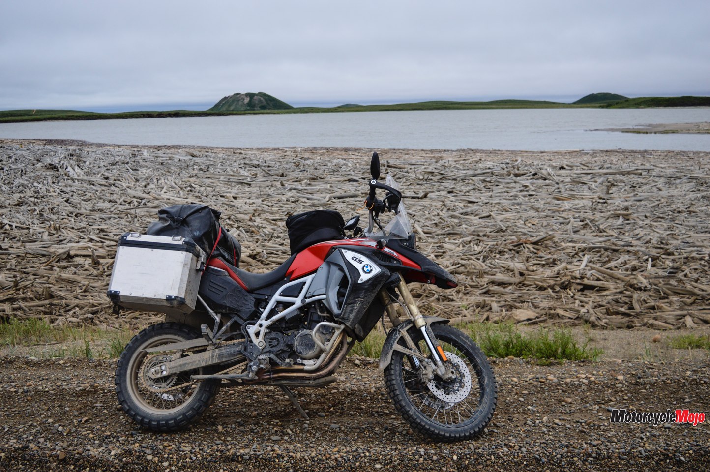
What remained for us was the last 150 km stretch of recently completed all-weather road from Inuvik to Tuktoyaktuk.
Like the Dempster, the Inuvik–Tuktoyaktuk Highway owes its arrival at least in part to oil and gas exploration in the 1960s. Almost 50 years of policymaking and paperwork would be needed before the 2014 approvals were in place to start meaningful construction. A 2016 moratorium on drilling in the Arctic changed the primary beneficiaries of the road away from the oil and gas industry toward the local communities and tourism. By the end of 2017, the road was opened.
The Last Push

At one roadside break, we made polite conversation with Owen Allen, a friendly passerby who stopped out of interest to talk to us. Owen is a local from Inuvik and holds two jobs: one as a contractor to carry mail between Inuvik and Tuk, and the other as a travel consultant in Inuvik. On his daily mail run the previous week, he counted six abandoned motorcycles alongside the last 15 km stretch – it was simply too muddy to get the stuck bikes out, even with the help of the local RCMP.
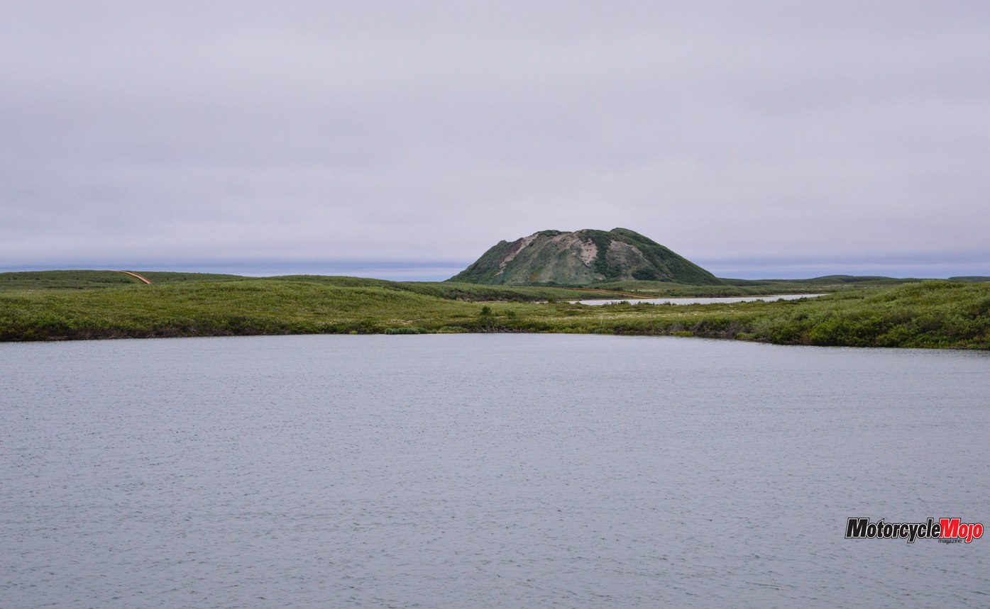
As in Inuvik, the infrastructure of Tuktoyaktuk is designed primarily to cope with winter. Buildings are placed on blocks to avoid melting the permafrost. To dig proper footings into the earth would disturb the permafrost and potentially melting it, putting the above structure at risk of shifting. “Utilidors” are above-ground insulated boxes that run like spiderwebs through the town, connecting all the buildings with water and sanitary lines, and eliminating the need to bury them underground. Houses have enclosed porches to keep cold weather out, and most residential front doors are up at least one set of stairs. Beside the houses are white, steel reservoirs for heating oil, perched high off the ground. Typical winter-life equipment like snowploughs and snowmobiles are parked randomly, waiting for the snow to return. It’s clear that the summer in this town is only a brief pause between winters.
Developing New Markets
Tuk is responding as quickly as it can to its new-found status on the bucket list. A new campground has opened, along with two restaurants, including one serving muktuk (whale). Popular with visitors has been the “I made it to Tuk” sticker campaign that Cemil Alyanak, a retired Canadian military officer, donated to the Hamlet of Tuktoyaktuk. Last year, $8,000 was raised from the sticker sales, which will go back into funding sustainable development in the area. Artisans working in traditional Inuvialuit art (especially carvings and clothing) are enjoying brisk business.
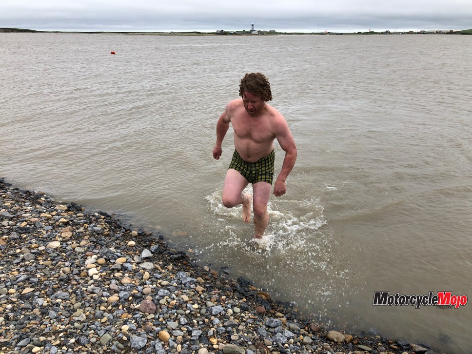
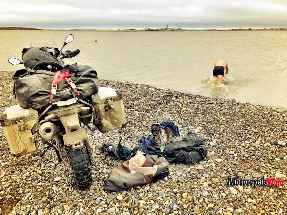
Piet, John and I held a quick meeting under the Arctic Ocean sign to seal the fate of this trip. We all agreed that having a trip that was not entirely easy, with imposing geography and some challenging roads through sparsely populated areas, fit well with the other tours we ran in Mongolia, Africa and South America. And adding a Canadian tour destination would be the fitting tribute to our company’s 10th anniversary in 2019. With handshakes all around, Piet and John celebrated with a dip in the Arctic Ocean before turning our convoy around and heading south.
Back at home, I got in touch with Merven Gruben to catch up. I congratulated him on recently being re-elected mayor, and he reminded me that his grandfather Eddie and father Bobby ran dog sleds on the ice road to ferry goods between Inuvik and Tuk in the 1950s. As their transportation business grew, they bought Bombardiers, then trucks, and eventually grew large enough to be one of the main contractors to help complete the Inuvik–Tuktoyaktuk Highway.
I told him that our reconnaissance run had been very informative, and we were eager to start sharing this unique part of Canada with the world, although the road conditions could cause some logistical stress. I asked the mayor about the stuck motorcycles in the road close to Tuk and whether that was going to be an ongoing worry. He replied, “The road was not yet finished and surfaced, now it is and we will have no more problems at any time of the year going forward. The highway is more beautiful than ever.”