
What better way to spend 13 days off work than to tackle B.C.’s backcountry with your adventure bike and a fishing rod?
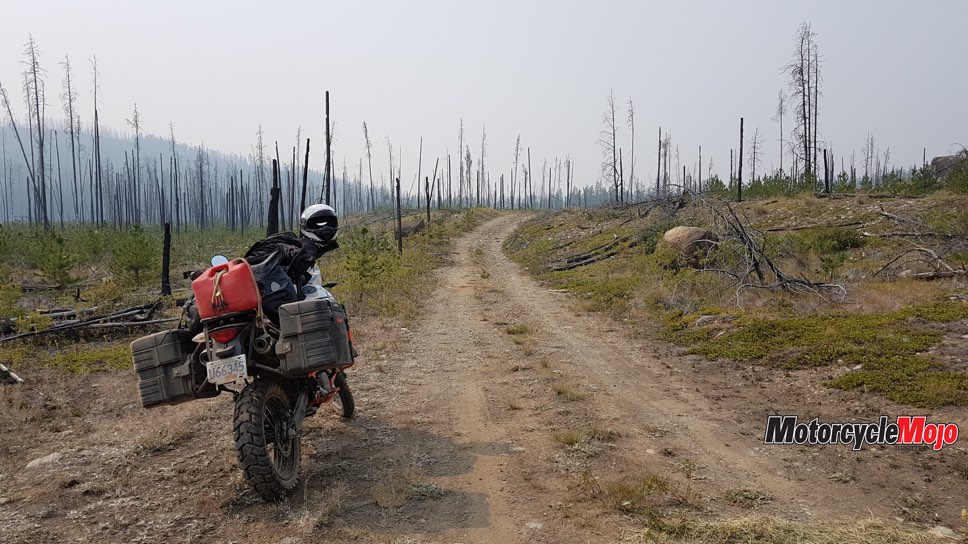
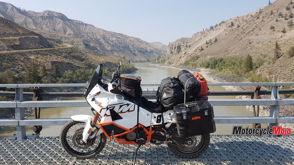
I leave central Vancouver Island mid-August on my 2013 KTM 990 Adventure Baja, heading south and over to British Columbia’s mainland. This kicks off a 13-day roundtrip adventure through the southwest coastal mountains, north up the Fraser Canyon, west through the Cariboo Chilcotin region to Bella Coola, and returning to northern Vancouver Island via ferries and weaving my way south back home. The trip will consist of roughly 1,100 km of gravel roads from maintained double-wide to deactivated single track, 800 km of various paved roads and 400 km of ferries on three different vessels and routes, and I’ll be tested by changing road conditions, gear failure, forest fires and temperatures between 3 C and 33 C.
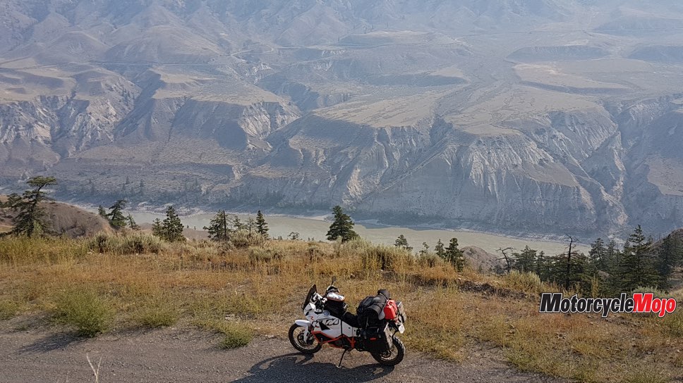
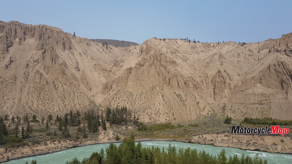
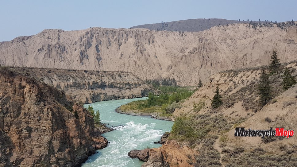
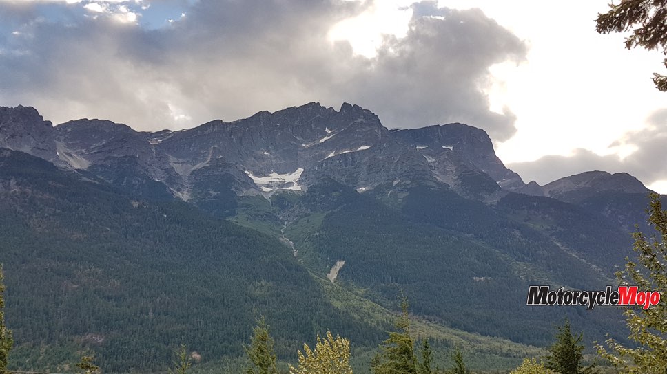
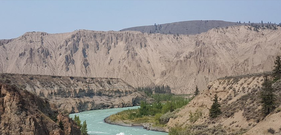
The Fraser River Canyon offers remote, rugged beauty with its impressive carved slopes up to 1,000 metres deep and nearly 300 km long. The lower half of the canyon is easily accessible via Highway 97, but it’s the remote northern half I am exploring. I’m planning on four days and 500 km of gravel back roads from Pavilion to Tatla Lake. I can already taste the dust and fresh trout I’m going to eat!
Focus on the Road

This may be the crux, the impasse. I smell and see smoke billowing in the distance; the B.C. interactive wildfire map stated Poison Lake and Meadow Lake Roads were closed. This would cause me to backtrack, cut off my route through Gang Ranch, lose a day at minimum and ride hundreds of paved kilometres toward Williams Lake. Luckily, one hour later, I have skirted the fiery crux and am on route to Gang Ranch.
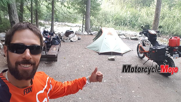
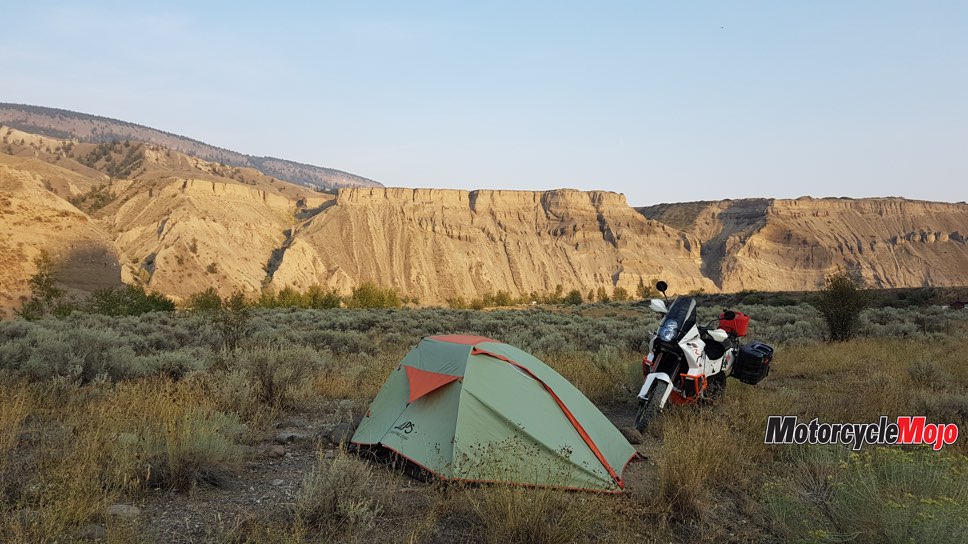
Beautiful Meadow Lake Road descends from the east Cariboo Chilcotin plateau and back into the Fraser Canyon. After crossing the Fraser River on a rustic suspension bridge, I find an overgrown trail littered with small cacti close to a creek. This becomes my prickly desert camp for the night and gets me close to Empire Valley Forestry Service Road (FSR) for tomorrow morning’s adventure.
Double-Check Your Tie-Downs
Near disaster! My rear wheel has locked in third gear and I am doing an emergency slide on a steep gravel corner. It happens so fast, only riding instinct can react – years of dirtbiking skills save the day. I jump off the KTM, fearing my chain has broken and locked my rear wheel. But something looks odd. It takes a few seconds for my eyes and brain to evaluate what I’m looking at. In my haste to leave camp a few kilometres back, I forgot to secure my top bungee cords. My sleeping pad caught on the bungees, rolled off the back of the bike and got sucked into the rear wheel, locking up the tire. It takes immense force to dislodge it. My nights just got a little longer with no functioning sleeping pad. Safely back on my bike, I reach my destination.
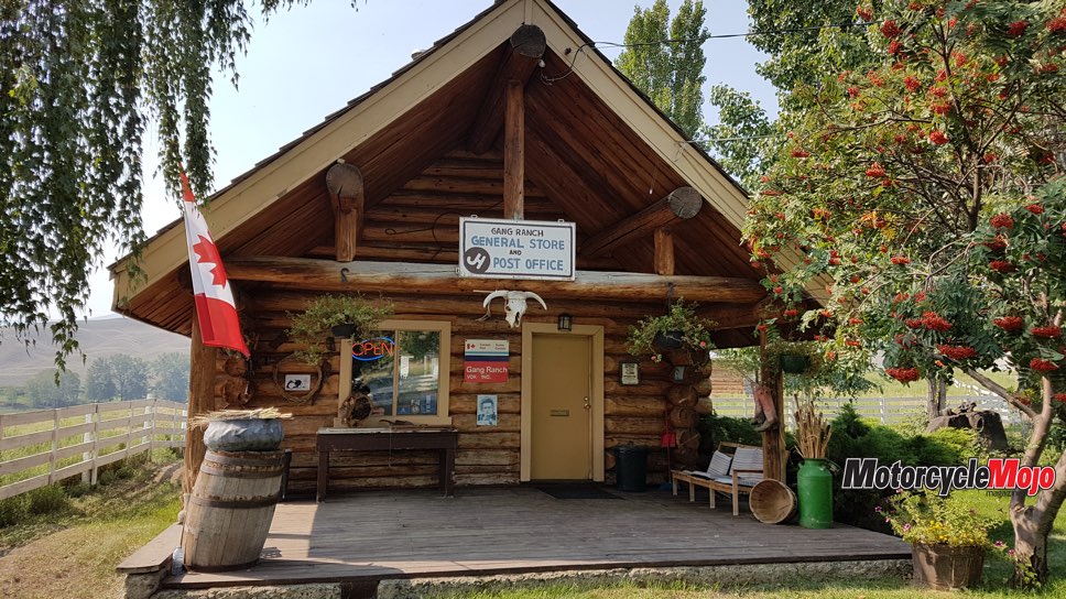
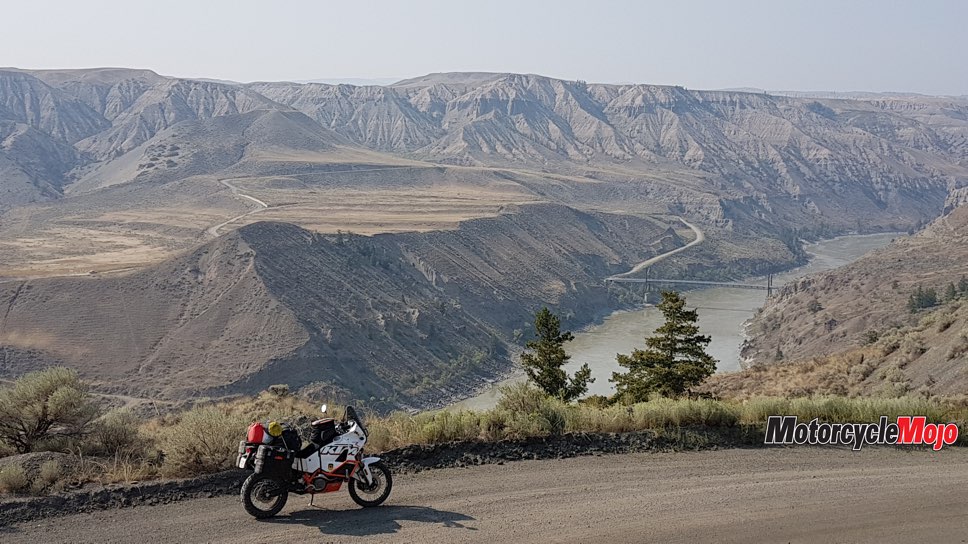
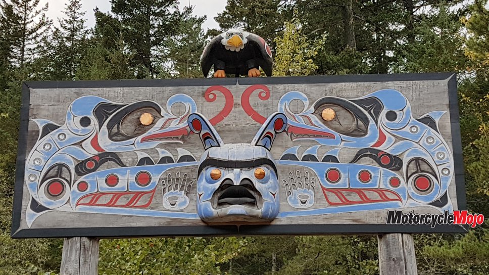
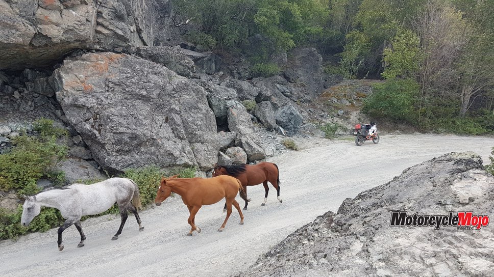
Gang Ranch is the second-largest ranch in Canada and has a rich history. To this day, it remains a working cattle ranch with dozens of gravel roads, ATV tracks and single-track criss-crossing over its one million acres. I make a stop at the ranch office to talk “ranch life” and get some directions. Once on the less-travelled 2700 Road, I’m standing on my pegs, visor up with the cool wind in my face. From the north end of 2700 Road, Farwell Canyon and the hoodoos are a stone’s throw away. Farwell Canyon is exceptional – a quick break from the sun under the canyon bridge and some seasonal entertainment watching the local First Nations dip-netting for sockeye salmon.
Heed the Warnings

Finally, exhausted man and machine exit Chilko-Newton Road. It had washouts, mud holes, kilometre after kilometre of sandy, loose soil or pounding hard-packed river rock and zero signage with many confusing spurs. It took me four hours to ride 75 km, which proved to be one of the hardest tracks of the trip. With fuel, panniers and trip gear, my KTM 990 Baja is pushing over 272 kg. Combine the motorcycle weight with up to nearly 120 peak horsepower and that makes for an unwieldly beast on a very slow, rough track. I find out two days later Chilko-Newton Road has been deactivated for years due to the washouts and deteriorating conditions.
More Sleeping-Pad Troubles
Chilko Lake makes for a great stop and is B.C.’s largest lake over 1,000 metres in elevation. I take a short break at Chilko Lake Lodge, talk with some Fish and Wildlife officers and enjoy a freshly made lunch with a cold draft beer in the lodge bar. But before I get too comfy, I gear up and start the remaining 70 km that day to Horn Lake campground. Not far from the lodge, I glance over my shoulder and realize my sleeping pad has fallen off! So first I crush it, then totally lose it two days later. The pad had a foam core, so by folding it in half, I at least had a torso-only sleeping pad; now I really have nothing.
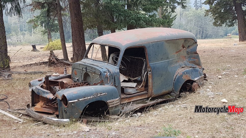
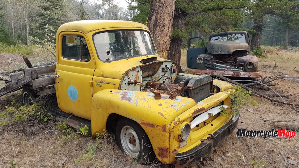
Deeper into the South Chilcotin Mountains is a set of lakes: Sapeye, Horn, Bluff and Middle. Many kilometres down Mosley FSR, I come across a curious, abandoned cabin with some old, abandoned 1950s vehicles. To be more exact, a Chevrolet 3800 one-ton flatbed, an International Harvester R100 and a rare Chevrolet delivery van. The vehicles and log house speak of a different era out here.
Time to Rethink the Route

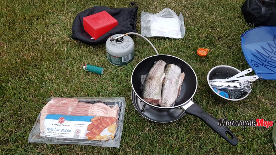
In the first week of my trip, I would develop an excellent routine that provided fish meals and cleanliness. I would always choose a campsite on a lake or river, stop by 6 p.m. and fish the evening time while also enjoying a refreshing outdoor bath. With fresh trout and moderately cooled beer, I’d enjoy evenings looking at my trip photos and studying the Backroad Mapbook for the next day.
You’re on Your Own
Until I leave Anahim Lake, I didn’t know that from near Anahim to the start of the Bella Coola River Valley, this 60 km stretch of the highway is gravel. When you reach Heckman Pass at 1,524-metre elevation you can see the glacial-covered coastal mountains before you. It’s an awe-inspiring sight. Locals call the subsequent loose gravel road “The Hill.” It requires caution and defensive driving as you lose 1,224 metres in elevation over several kilometres. It should be noted that from Pavilion to Bella Coola, I have zero cell service for five days, which proves to be a pleasant surprise for someone looking for isolation and adventure. Also, most of the 450 km Highway 20 corridor from Williams Lake to Bella Coola has no cell service.
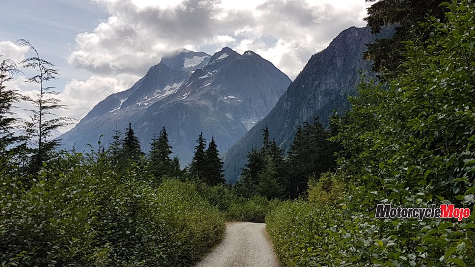
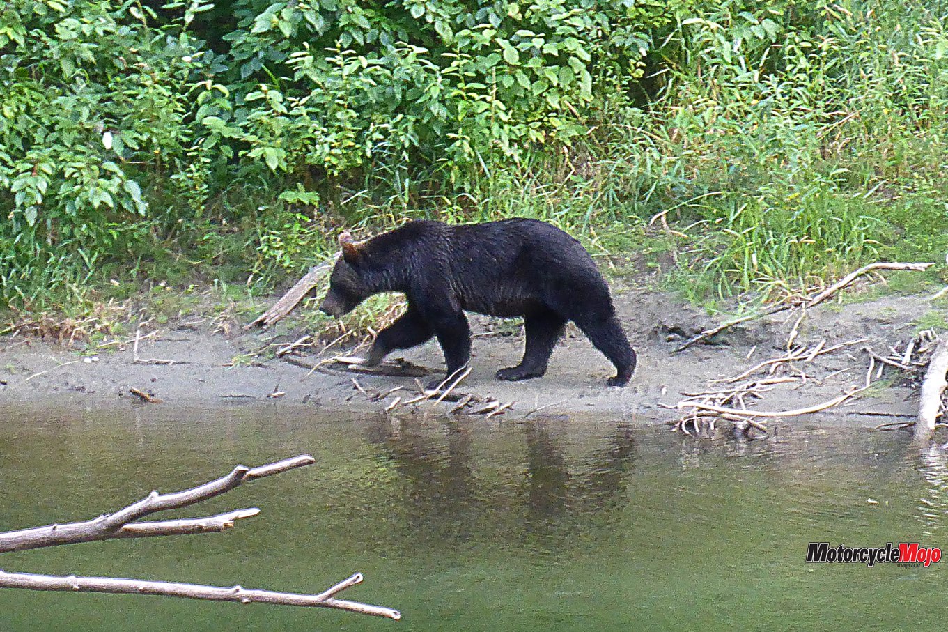
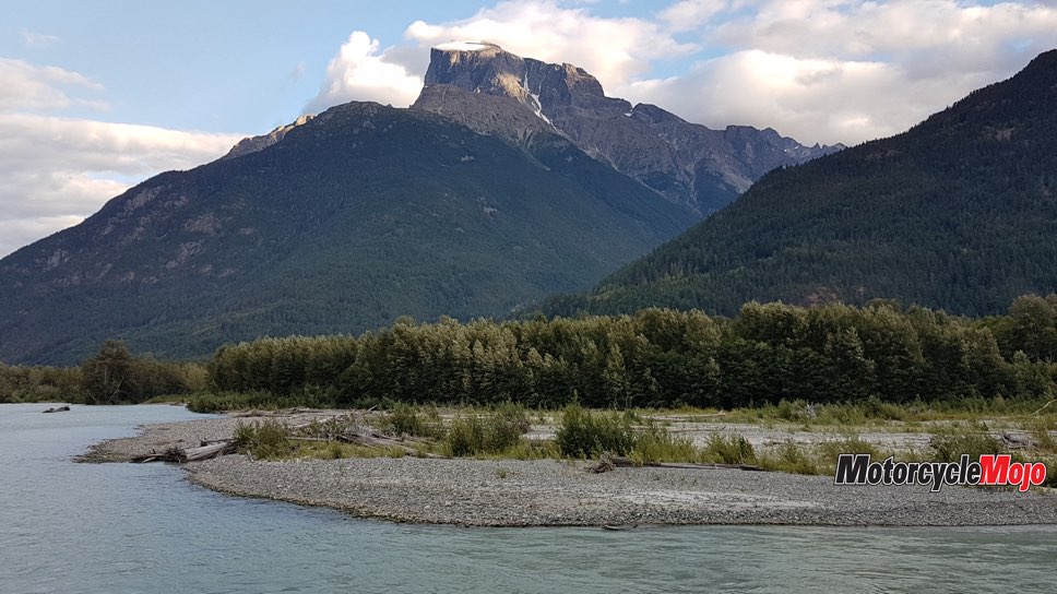
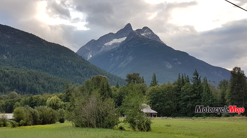
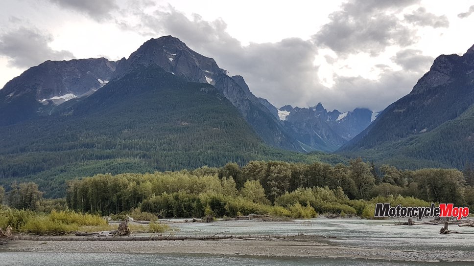
In the Bella Coola Valley, the surrounding mountains tower up to 2,500 metres above and continue along the whole 75 km-long river valley. For a lover of and climber of mountains, these glacial-covered mammoths capture all my attention and reduce my riding pace to dead slow. En route, I come across two small sibling grizzlies grazing on the roadside vegetation.
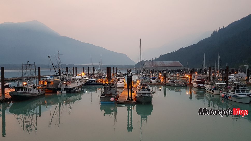
While in the valley, I stay at Rip Rap Campsite for four nights. In the subsequent days, I tour and take in all that Bella Coola Valley has to offer. The back roads around Bella Coola are your typical hard rock, steep, water-worn, west-coast gravel roads. This makes for fun technical riding on my now unloaded KTM. Clayton Creek, Cacoohtin Creek, Nusatsum River, and Talchako FSRs each make for some fun half-day adventures.
Sounds Like a Fish Story
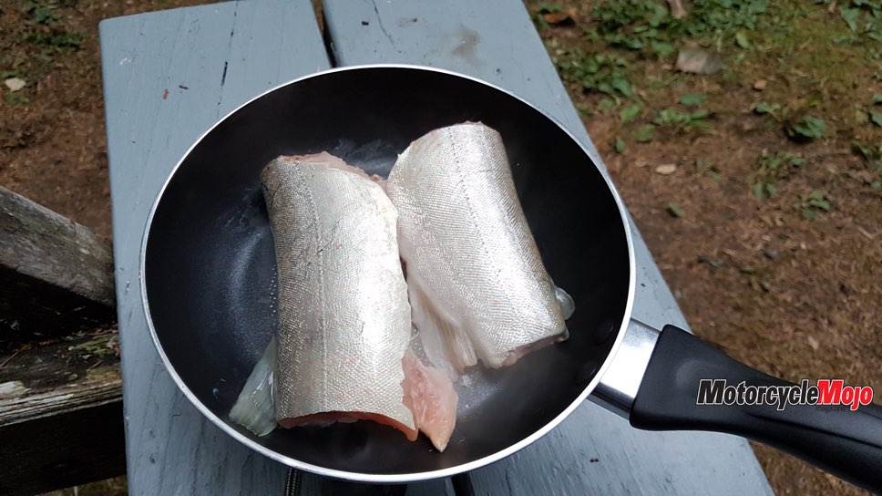
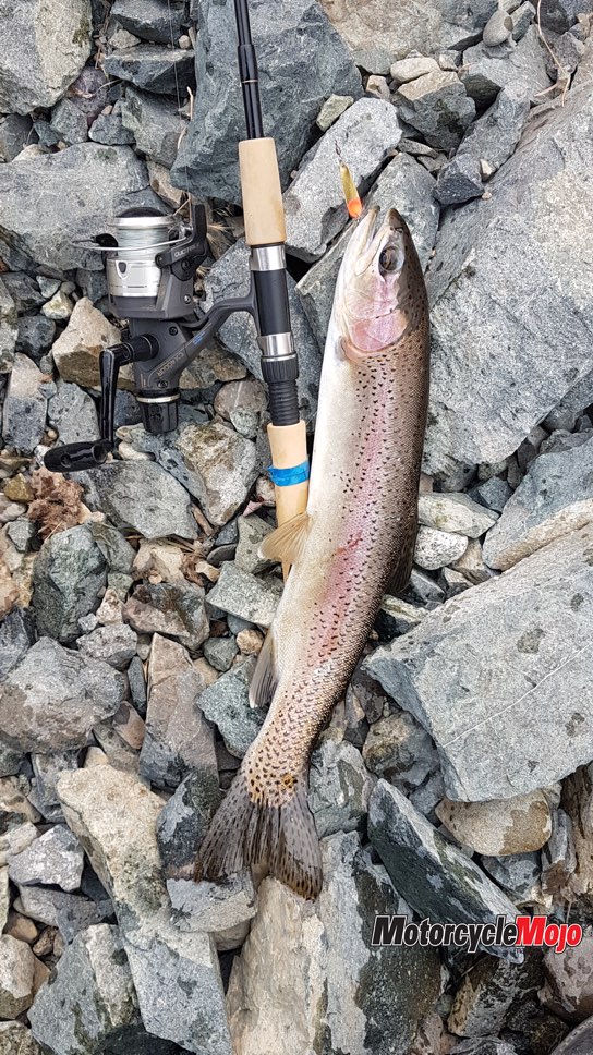
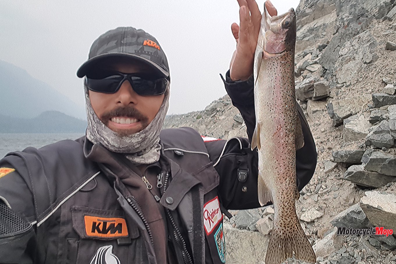
Using my four-piece salmon spin rod, I try my luck on the upper Bella Coola River. I hook into 15 pink salmon, two spring salmon, two rainbow trout and two Dolly Varden trout (no fishing tale here – I’m hammering the fish). The larger Dolly Varden, my biggest ever, provides me with two excellent meals.
Grizzly bears are ever-present – twice I have a grizzly come within 25–30 metres of my river fishing spot. The bears are after the thousands of salmon. Still, with air horn and bear spray in hand, I take no chances. In the end we want the same thing, fish, but I back off and give them space, respect and priority. Another win in Bella Coola: in a tiny one-stop shop, I find a really compact and good-quality sleeping pad for $60 – my achy back rejoices!
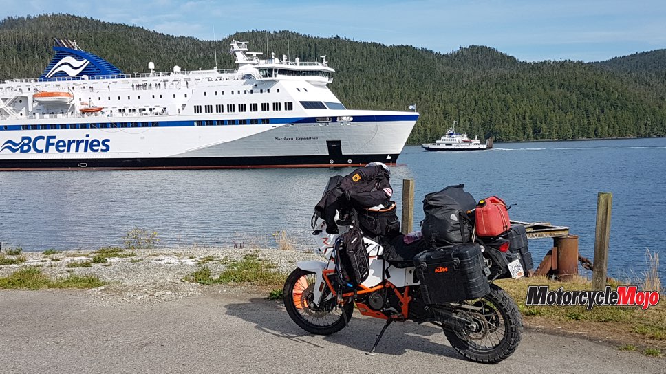
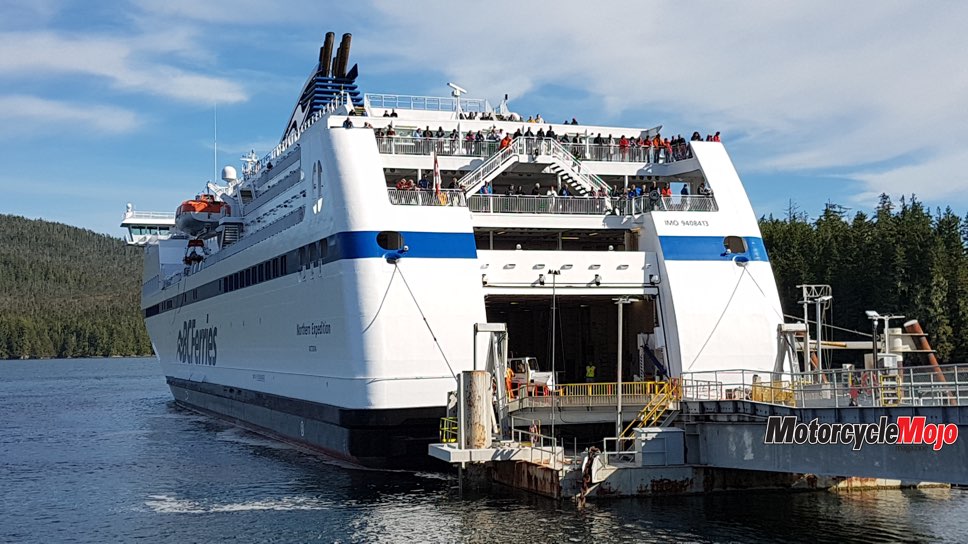
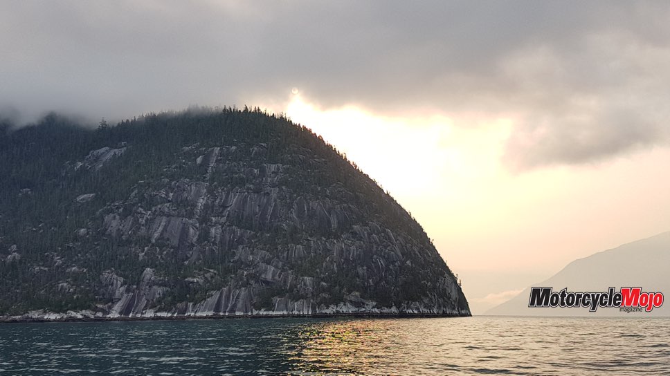
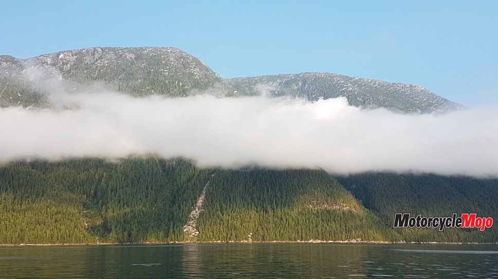
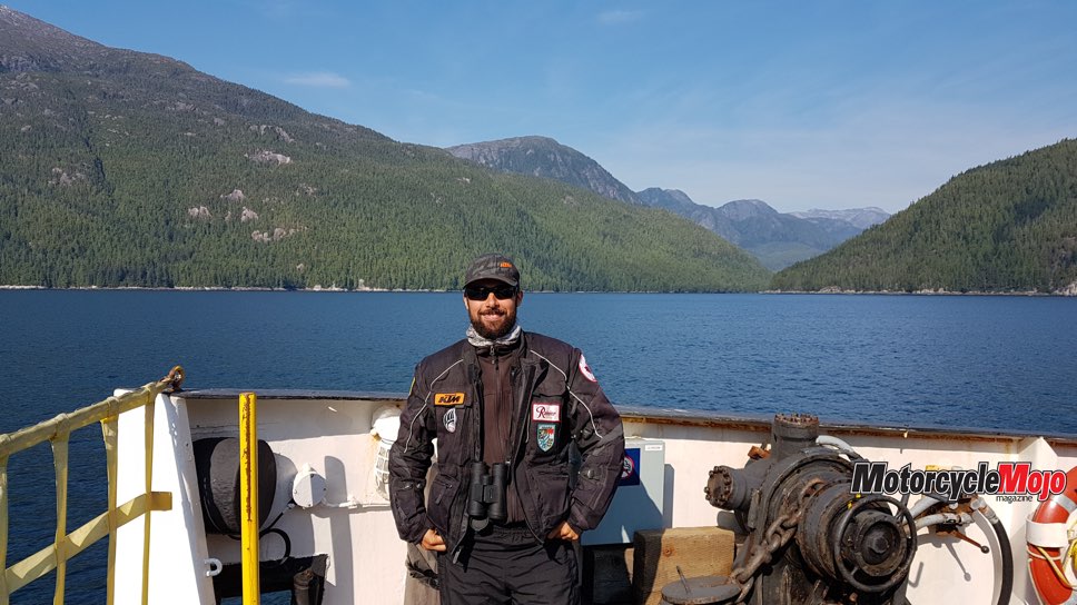
With the direct-route Bella Coola to Port Hardy Northern Sea Wolf ferry commissioning delayed, the smaller, barge-like Discovery Coast Connector ferry is a traveller’s only option. It makes a 10-hour trip into 16 hours, but it adds on the more remote route to Ocean Falls, Shearwater and Bella Bella. With so few vehicles and guests, we all mingle and share in the voyage. The captain even does a U-turn at one point to put us smack in the middle of a pod of Pacific white-sided dolphins – how’s that for service? From Bella Bella, a switch is made to the large and impressive Northern Expedition vessel, which completes the journey to Port Hardy.
Island Exploration
Back on Vancouver Island, and two days from home, I intend to explore a few areas of northern Vancouver Island. First, I ride the short distance from Port Hardy to Coal Harbour, then some connecting FSRs to Port Alice, where I enjoy the picturesque seaside town. I pick up supplies and decide my route through the northern island mountains heading south. Again, fire closures threaten my route, but with new confidence of my last fire-avoidance triumph, I carry on with the Alice Lake loop. On the loop, a lonely barricade guard holds the key to my success. Upon my reaching the barricade, the gatekeeper wants to know where I’m heading. He’s happy for the company; we chat for some time and he lets me pass. I assure him I’m quickly riding through the area, heading to Keogh Lake for my last night on the trip.
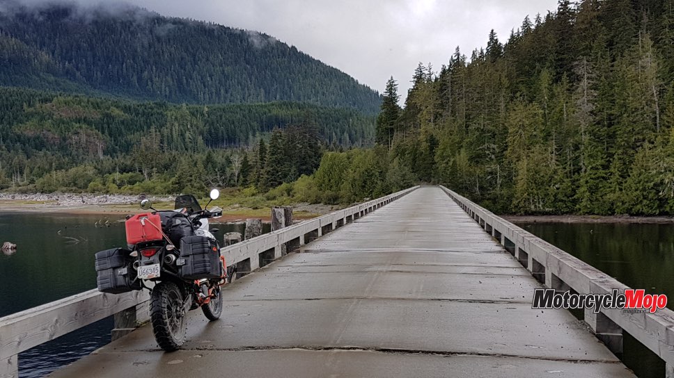
The next morning, I cross over the Nimpkish River on one of the longest wood trestle bridges I have ever seen in B.C. As I complete the last FSR on my trip and begin the remaining 230 km and three hours of paved highway south, I ponder the trip’s successes and the great memories, photos and stories that will carry on.